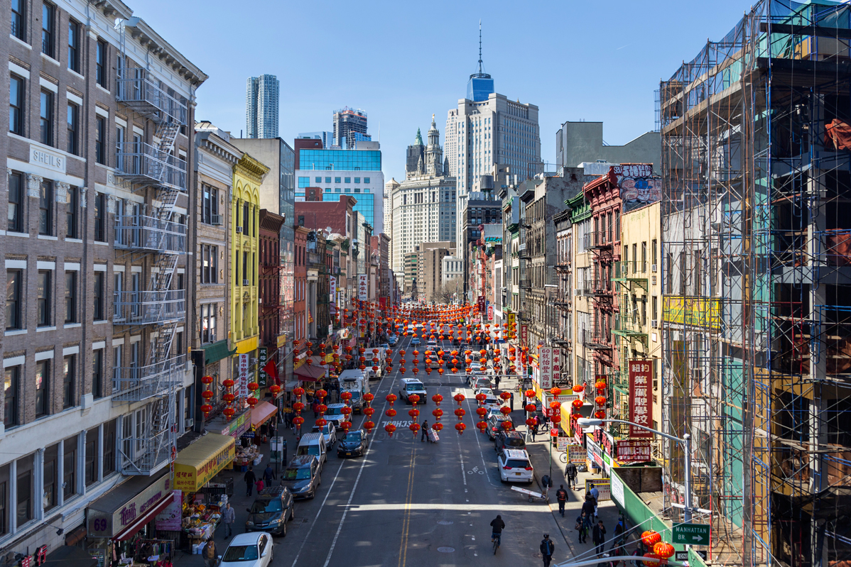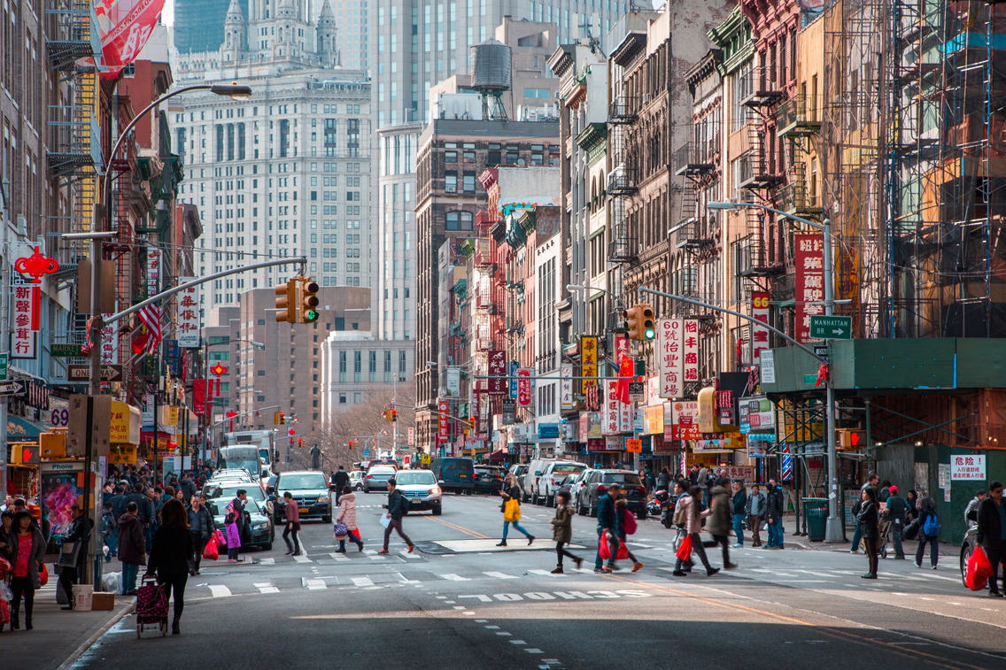
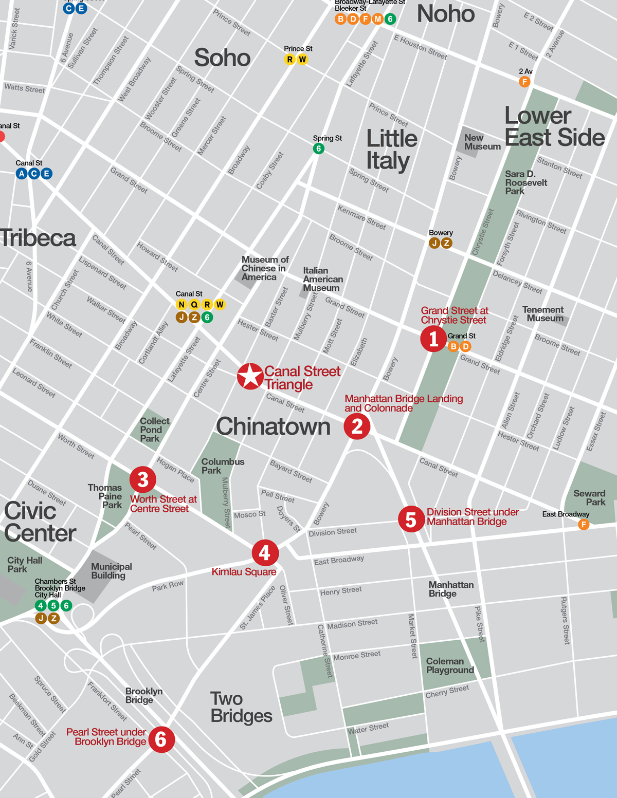
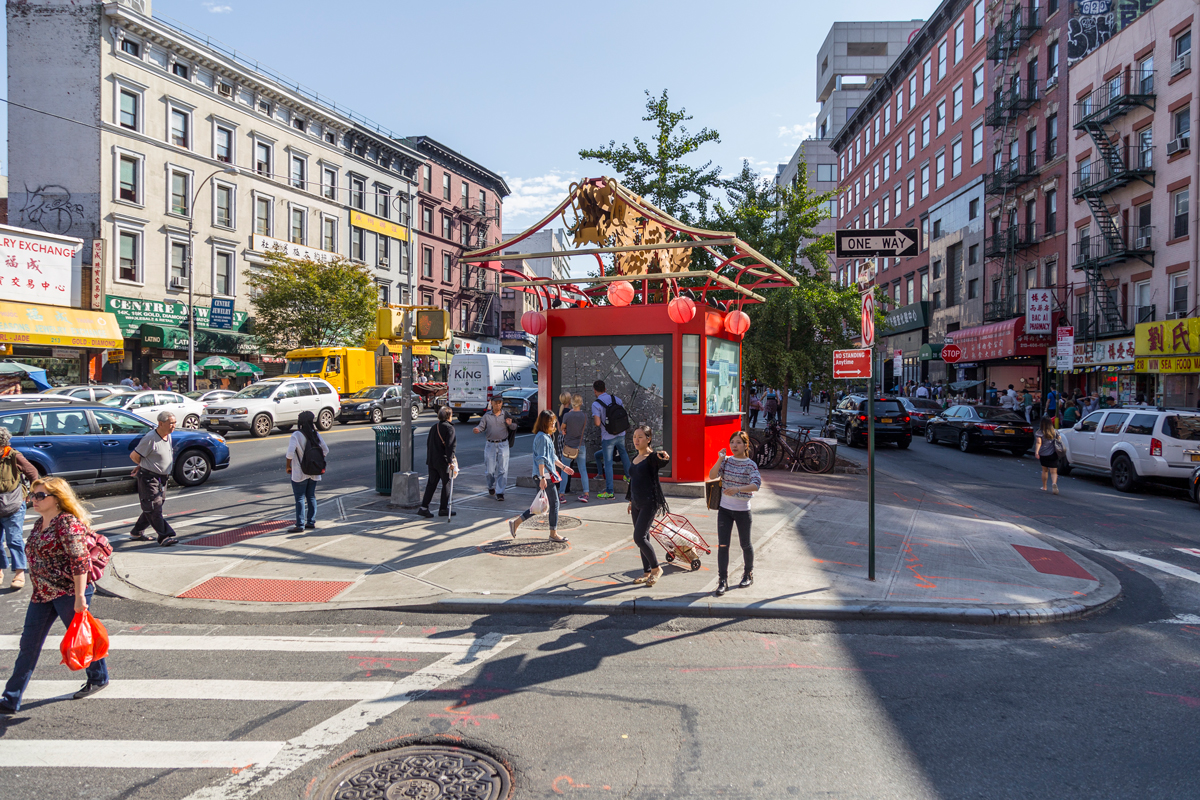
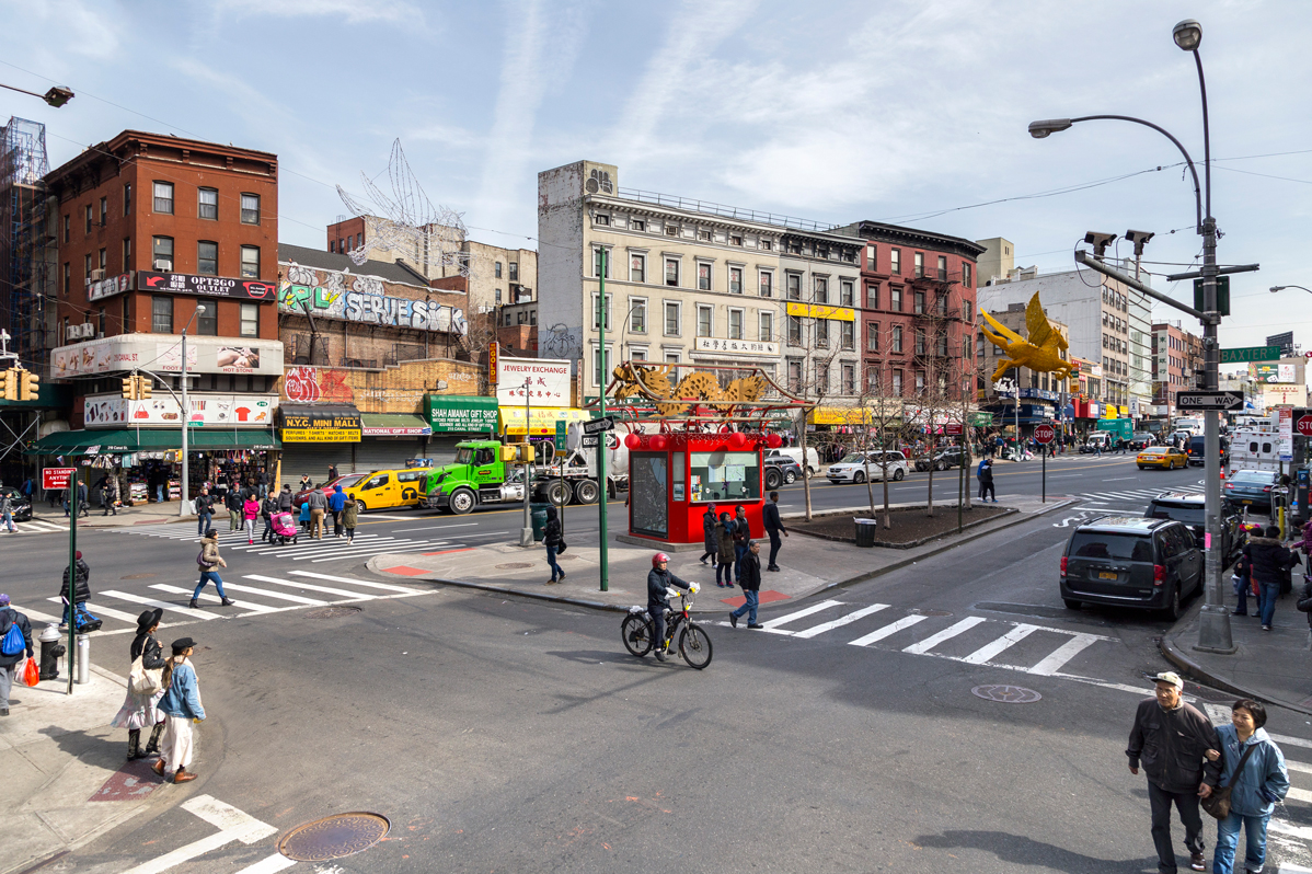
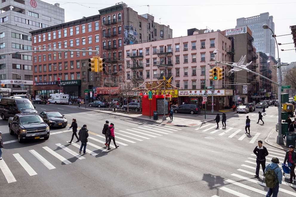
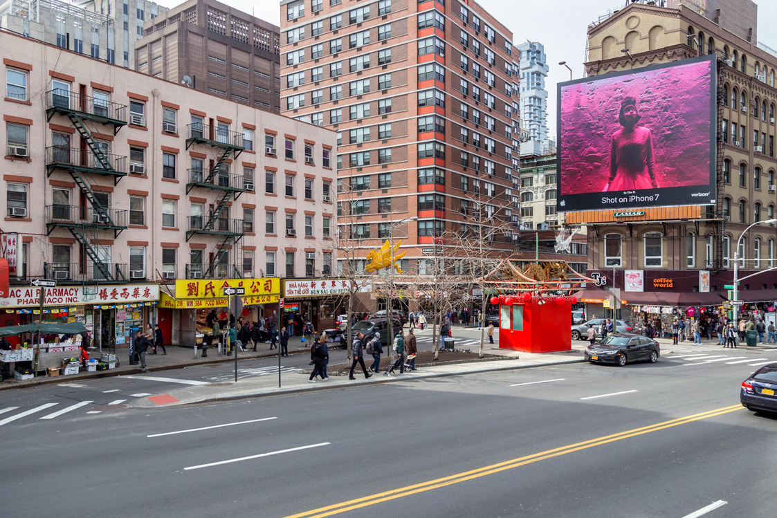
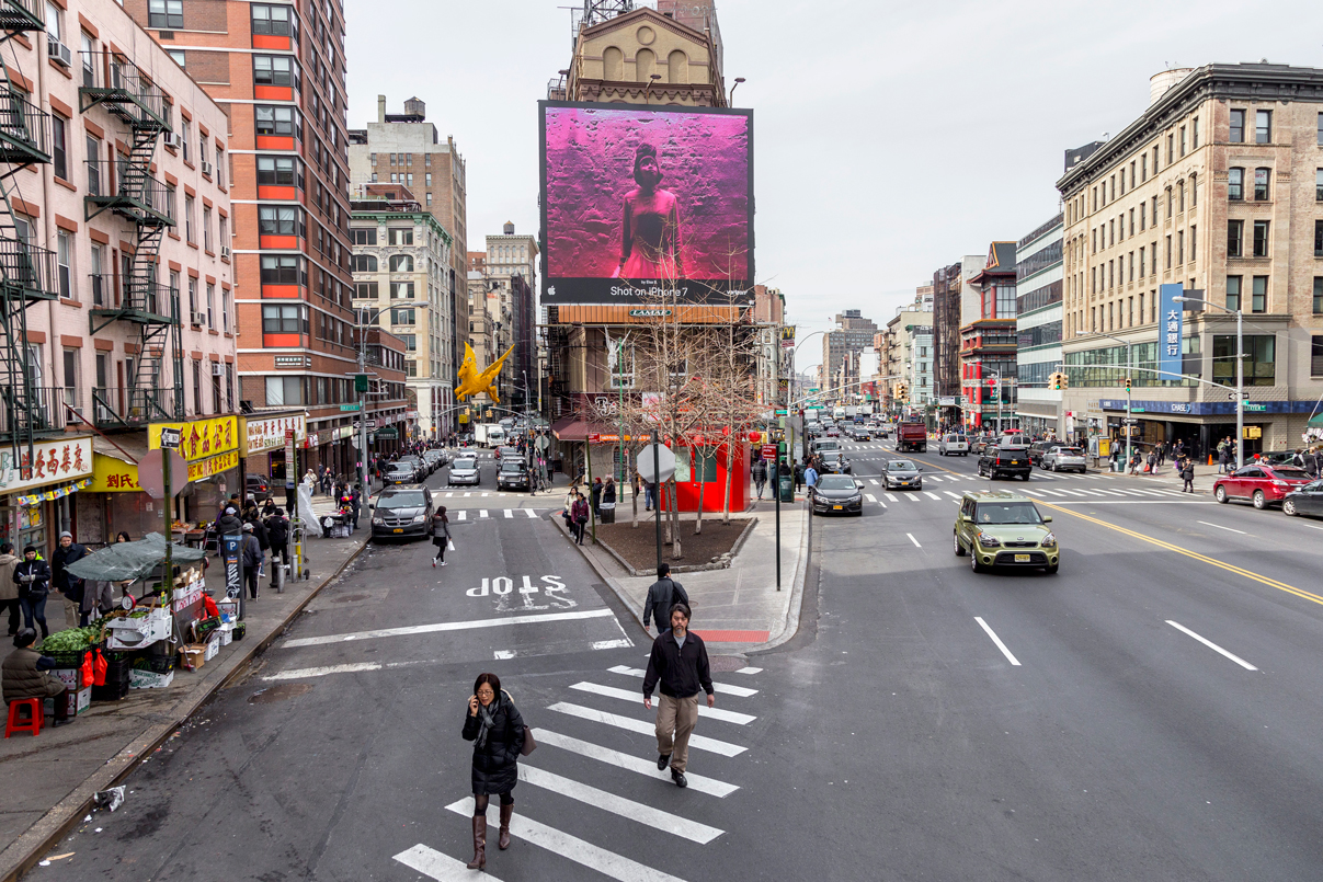
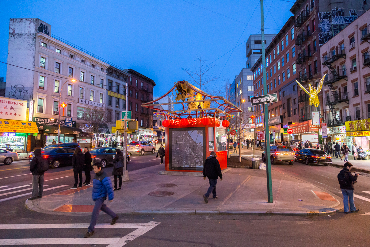
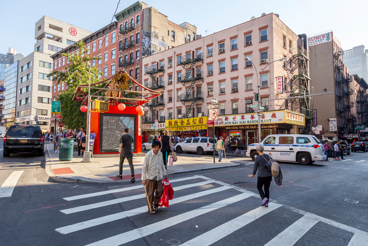
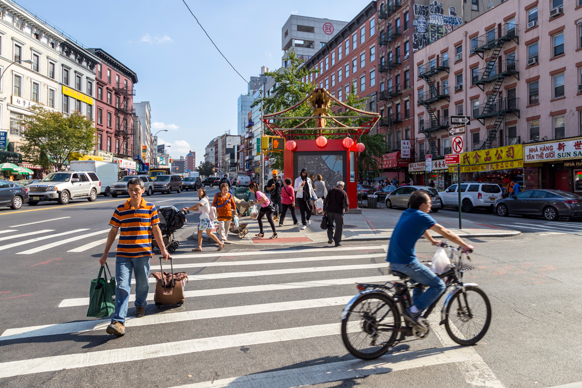
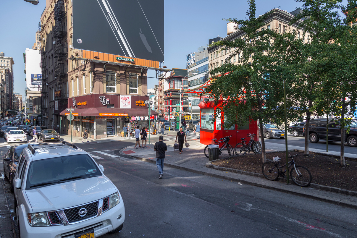
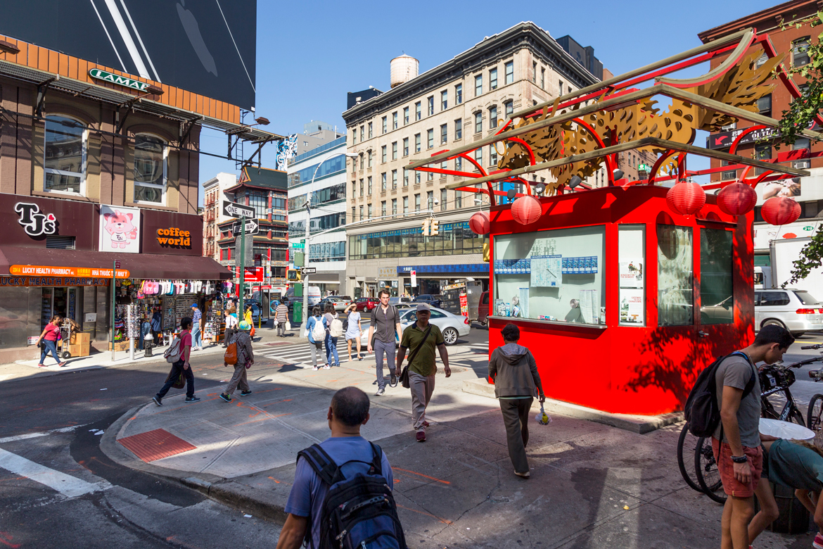
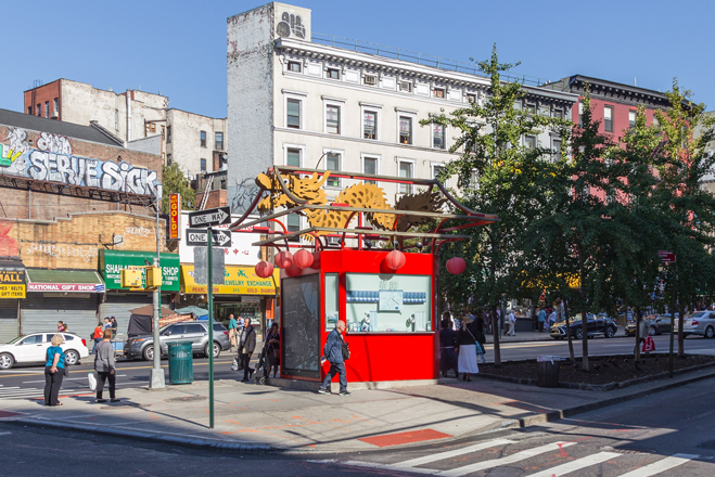
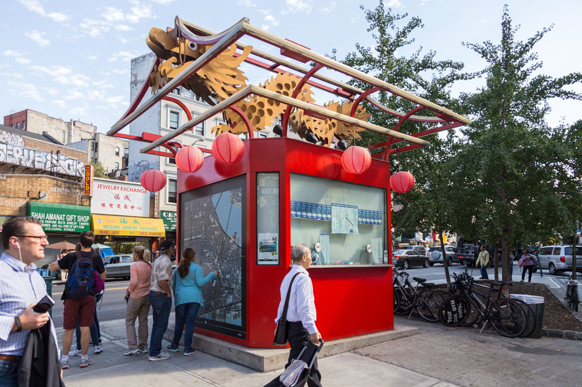
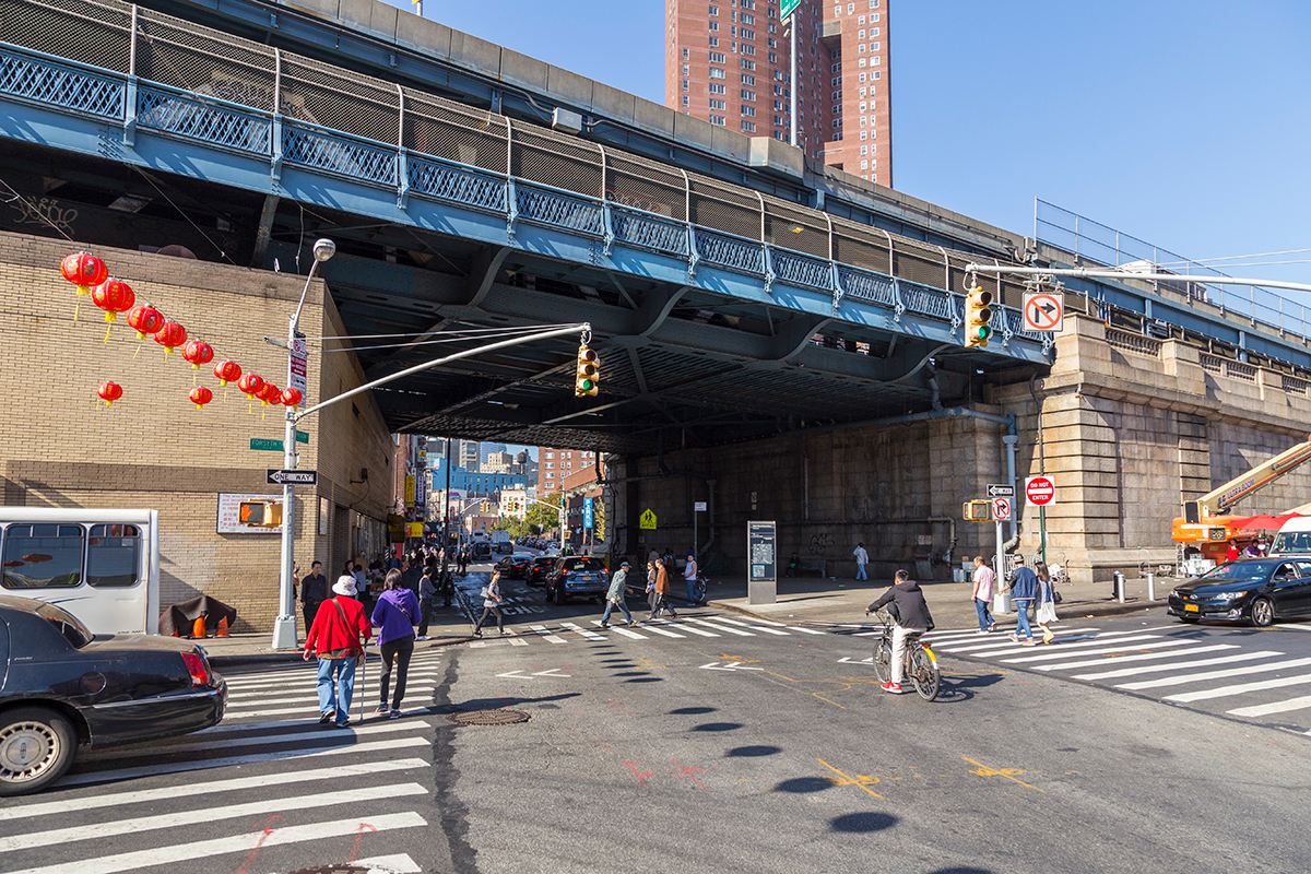
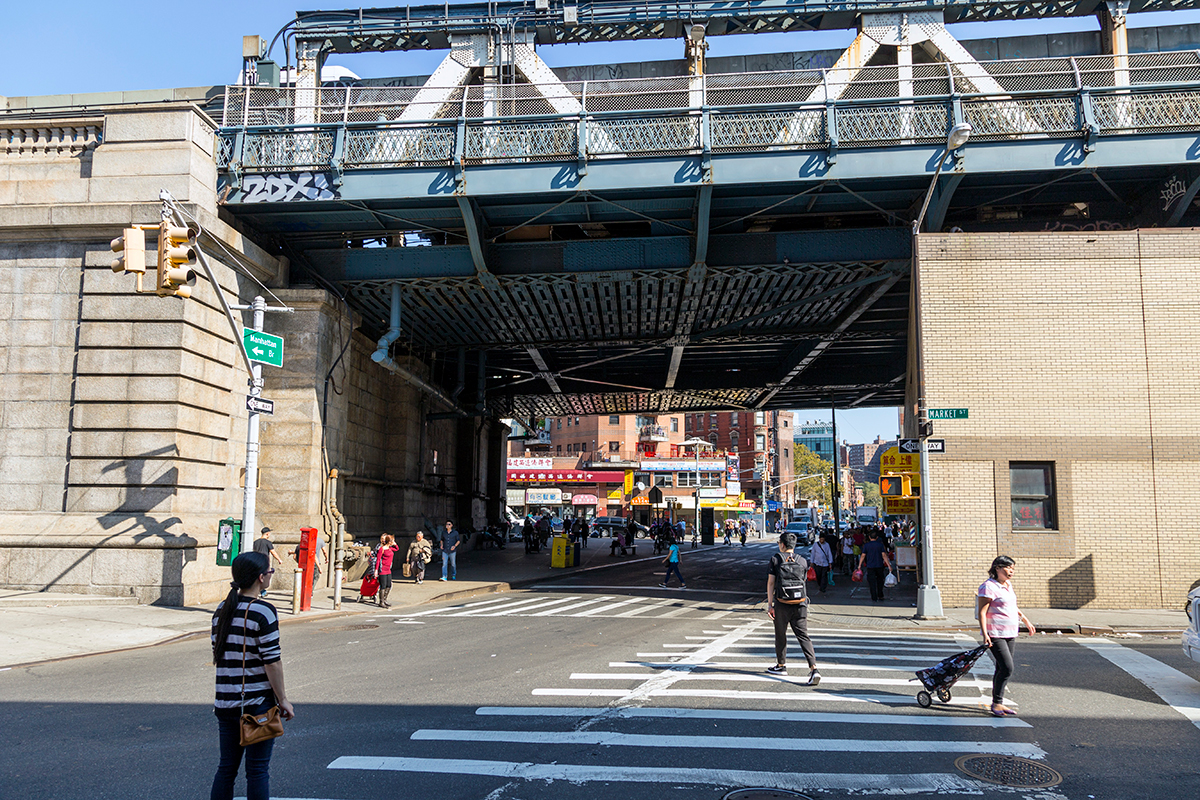
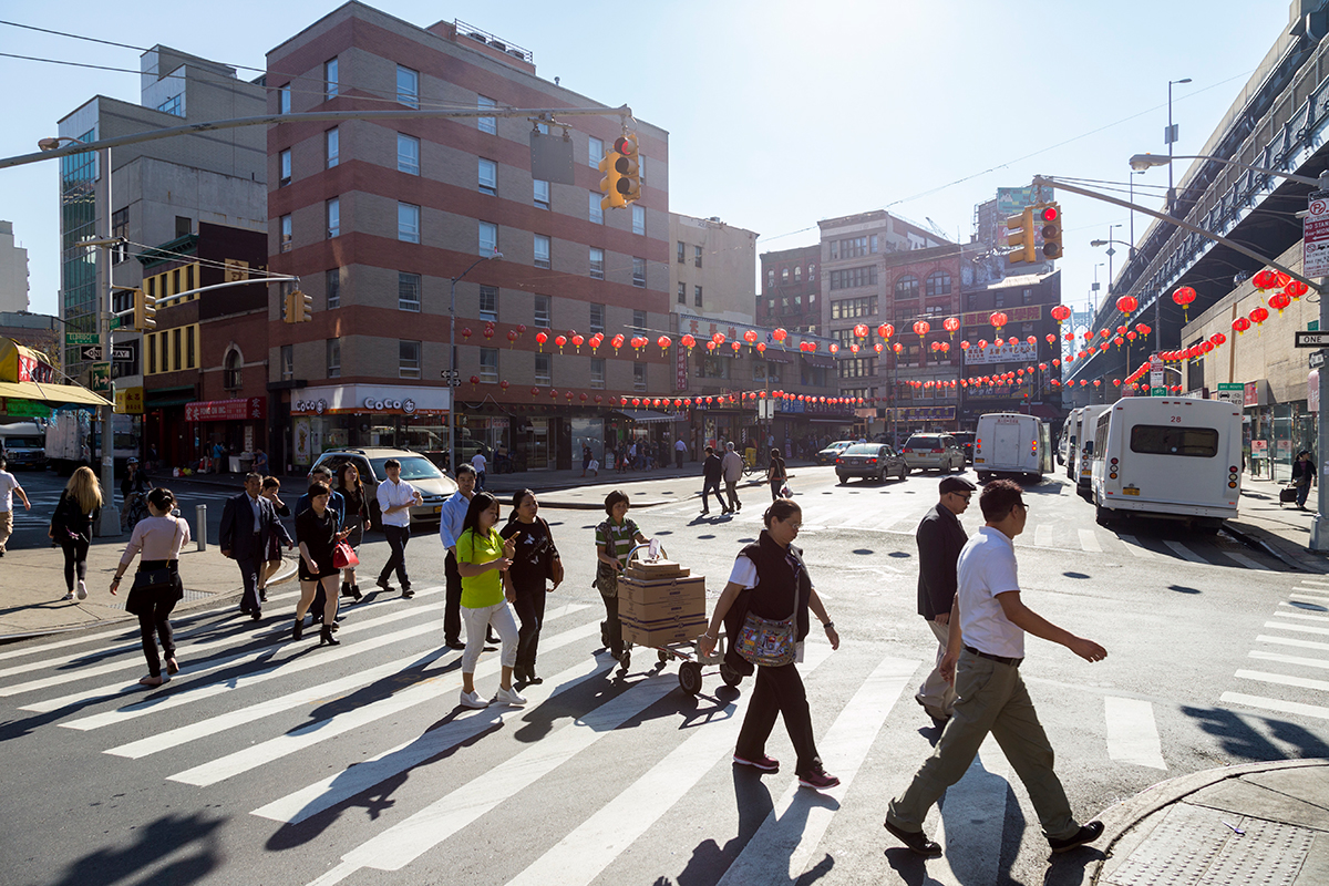
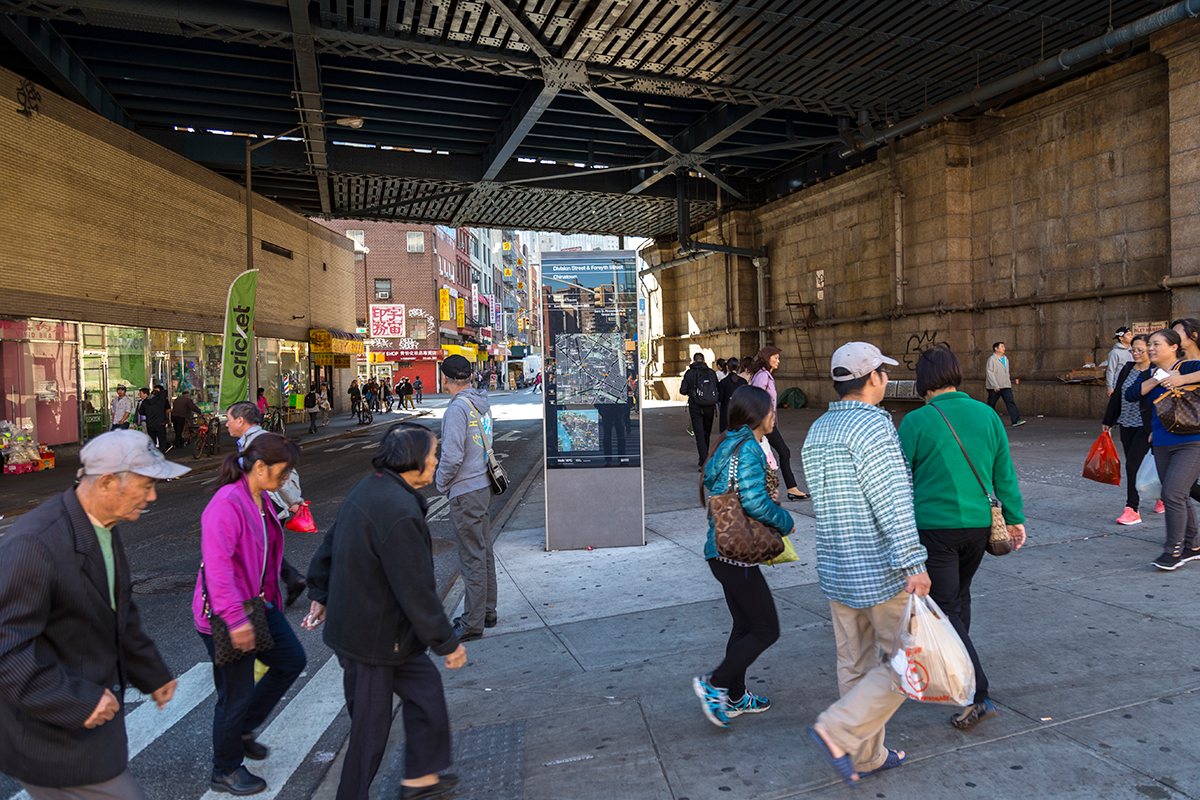
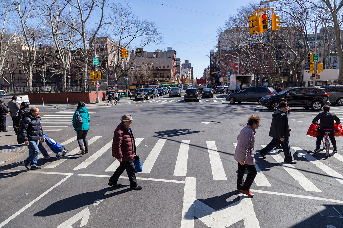
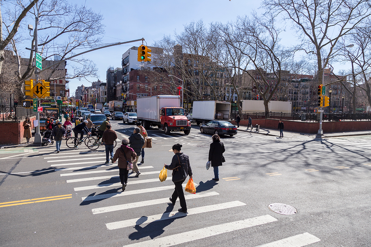
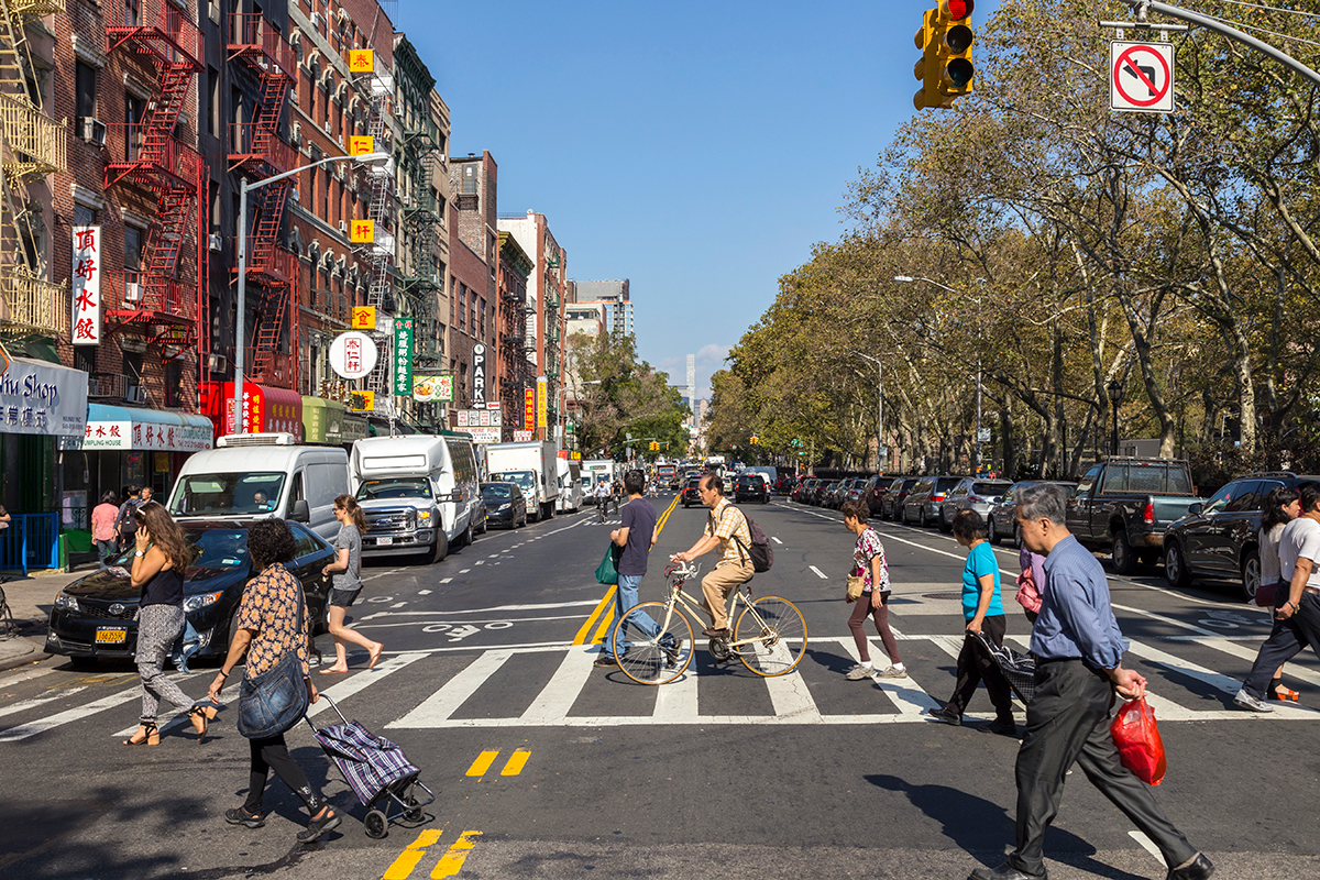
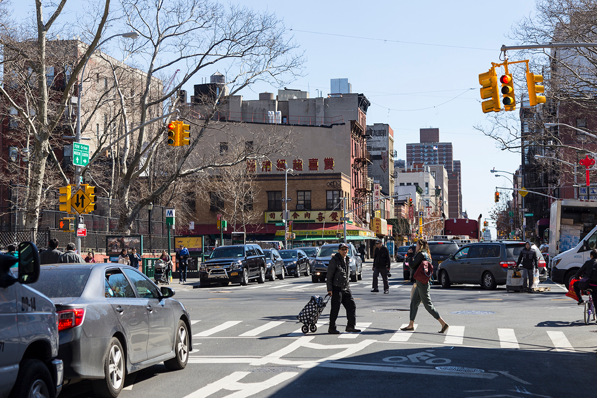
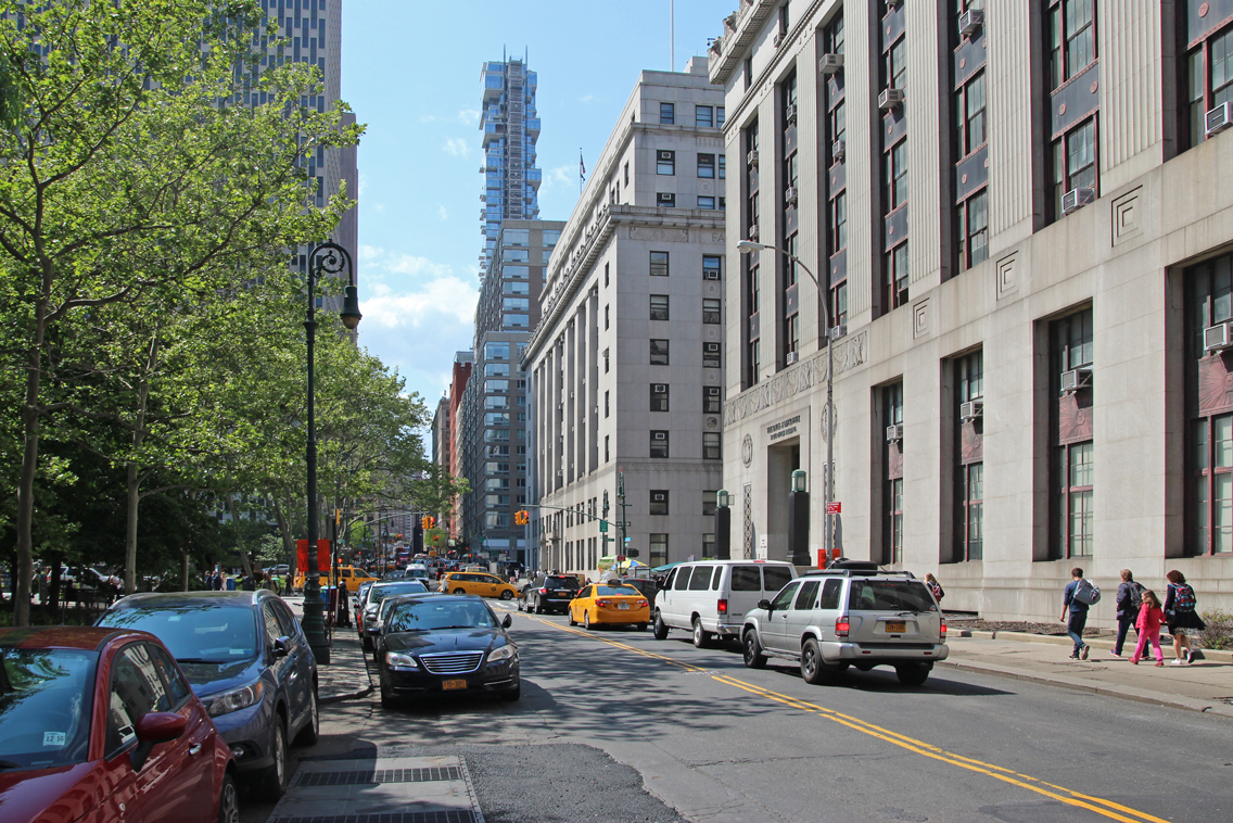
Chinatown Partnership identified seven key Chinatown portals through collaborative public engagement over the last decade. Each portal has its own physical characteristics and uses, and is influenced by the communities it joins and populations it brings into Chinatown. Together, these seven “gateways” make up an important network of public spaces, transportation connections, and thresholds between neighborhoods. The Canal Street Triangle was identified through collaborative public engagement as the most central location and is the first of these portals to be planned and activated.
Below are resources compiled by NYC DOT to help those interested in learning more about the site and larger network. Information includes a map of the gateway sites, a base plan for the Canal Street Triangle, and images of the seven gateway sites and neighborhoods.
Gateways Map and Base Plan
These AutoCAD files were supplied as a matter of courtesy and serve solely as an informational base plan to develop proposals. These files do not include a professional surveyor’s/engineer’s stamp and only drawings with such stamp are to be considered as true and final. The New York City Department of Transportation (NYCDOT) is not responsible for edited or reproduced versions of this digital data; any reuse of the data for purposes other than responding to this Request for Proposals will be at the user’s sole risk without liability or legal exposure to NYCDOT.
Canal Street Triangle
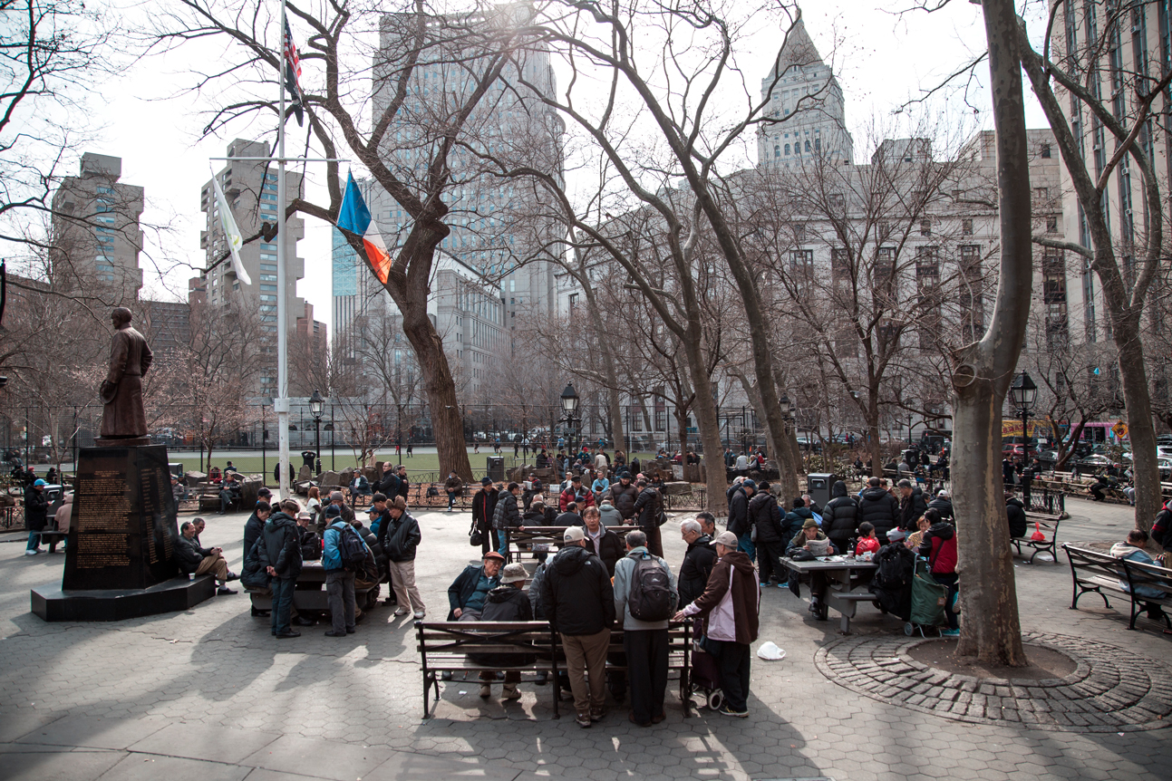
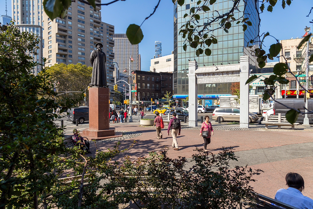
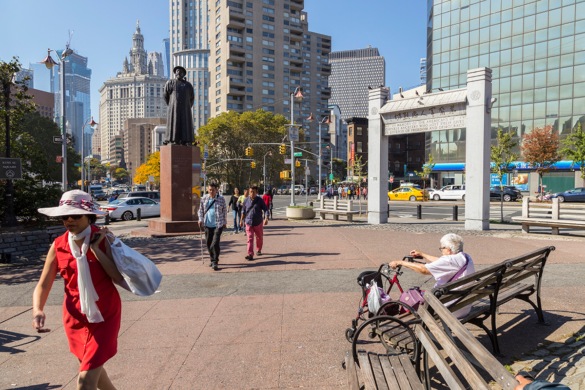
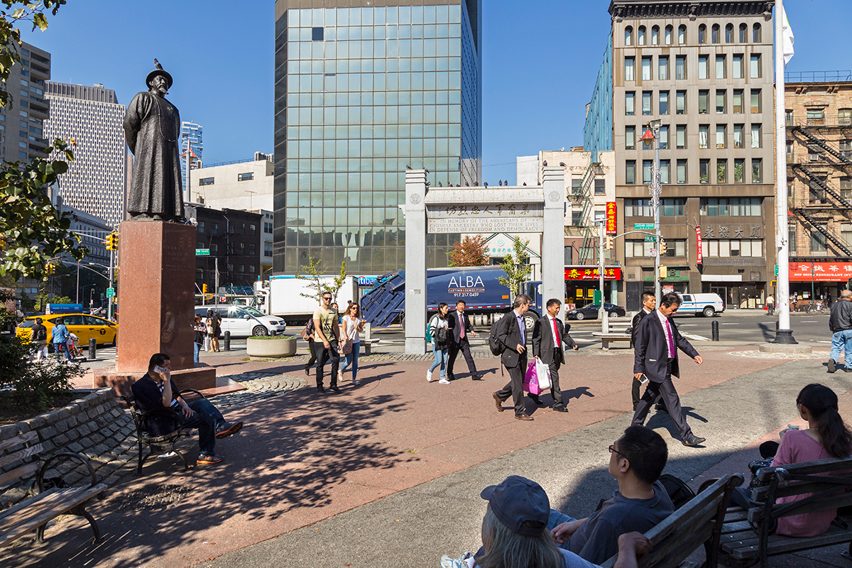
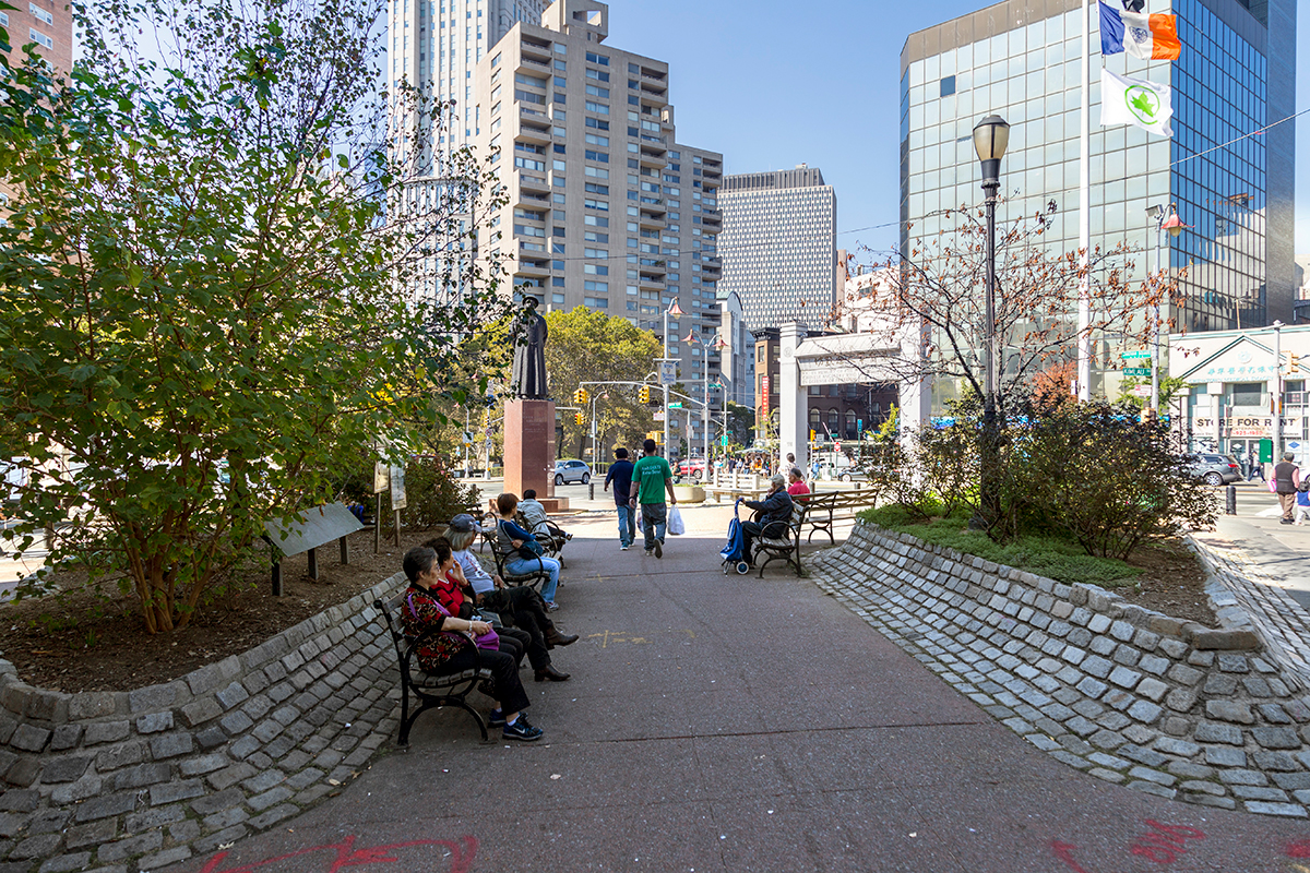
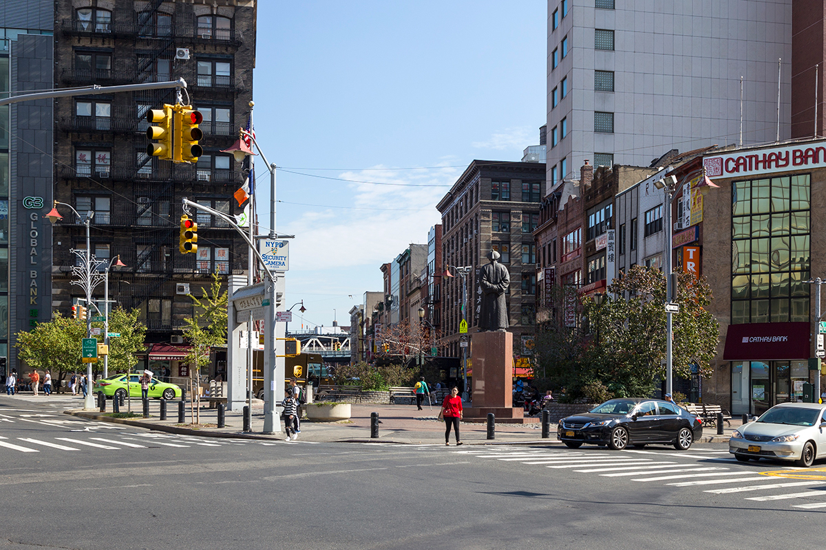
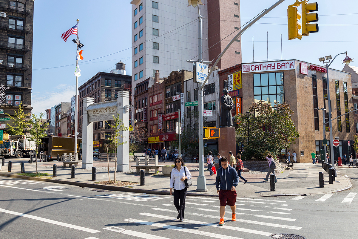
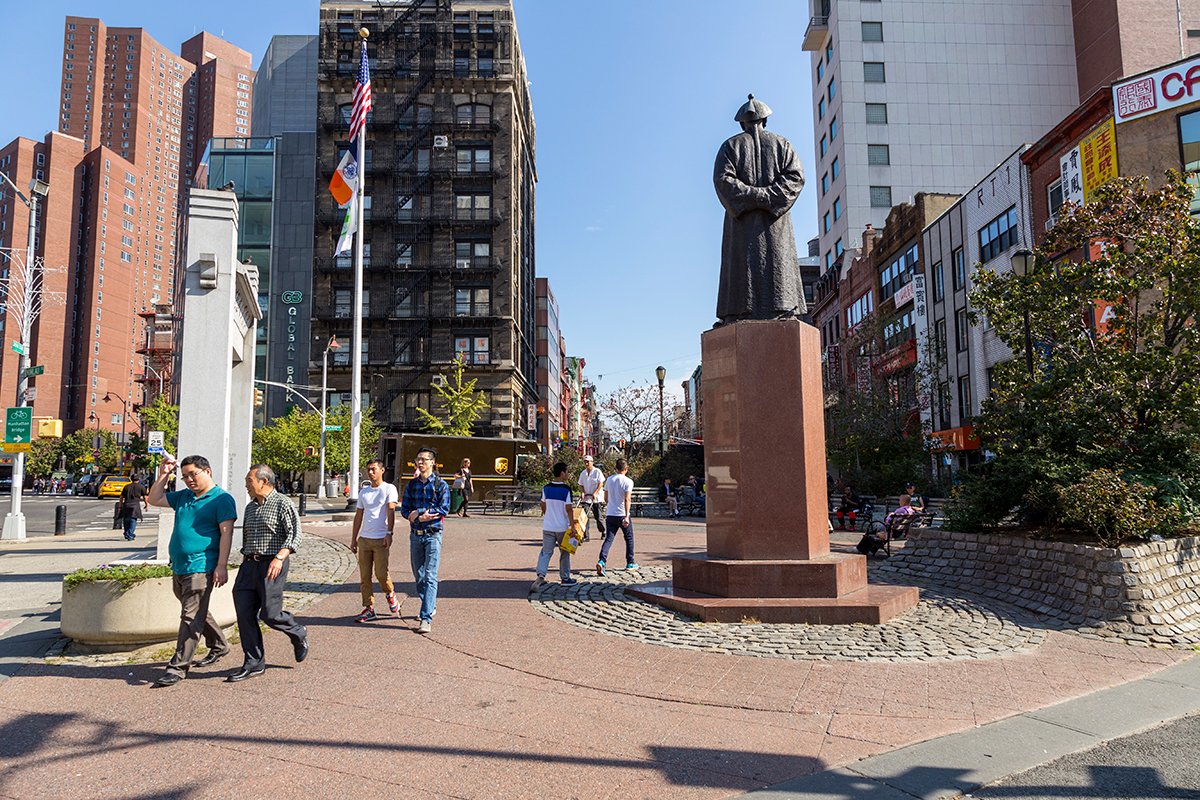
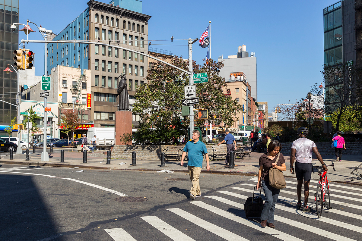
Kimlau Square
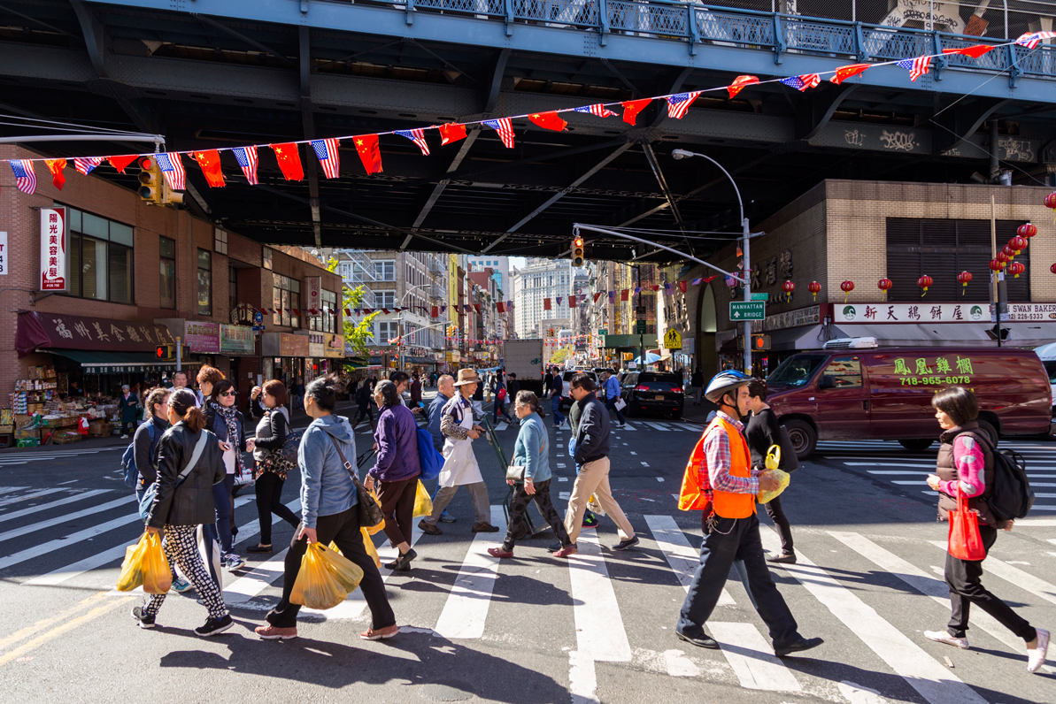
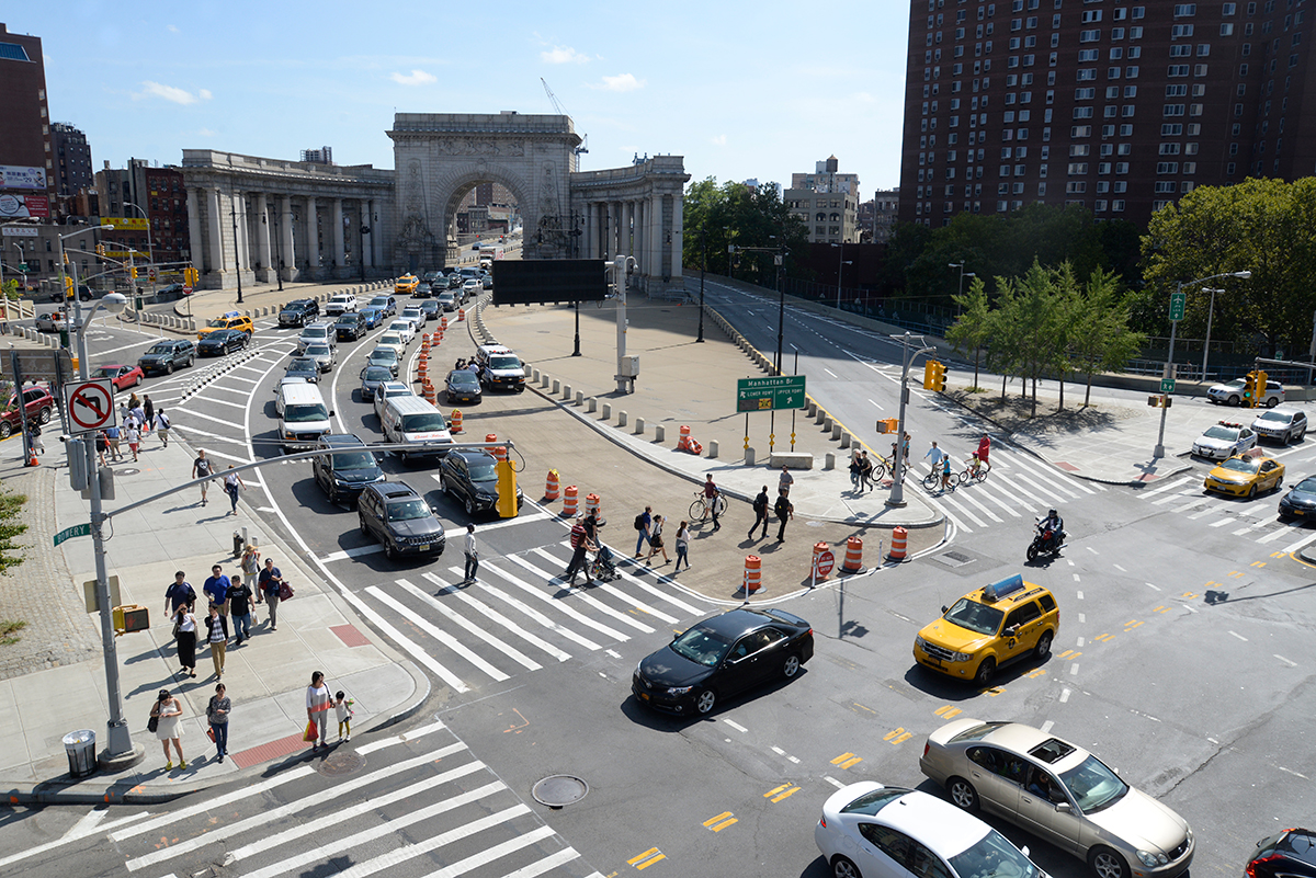
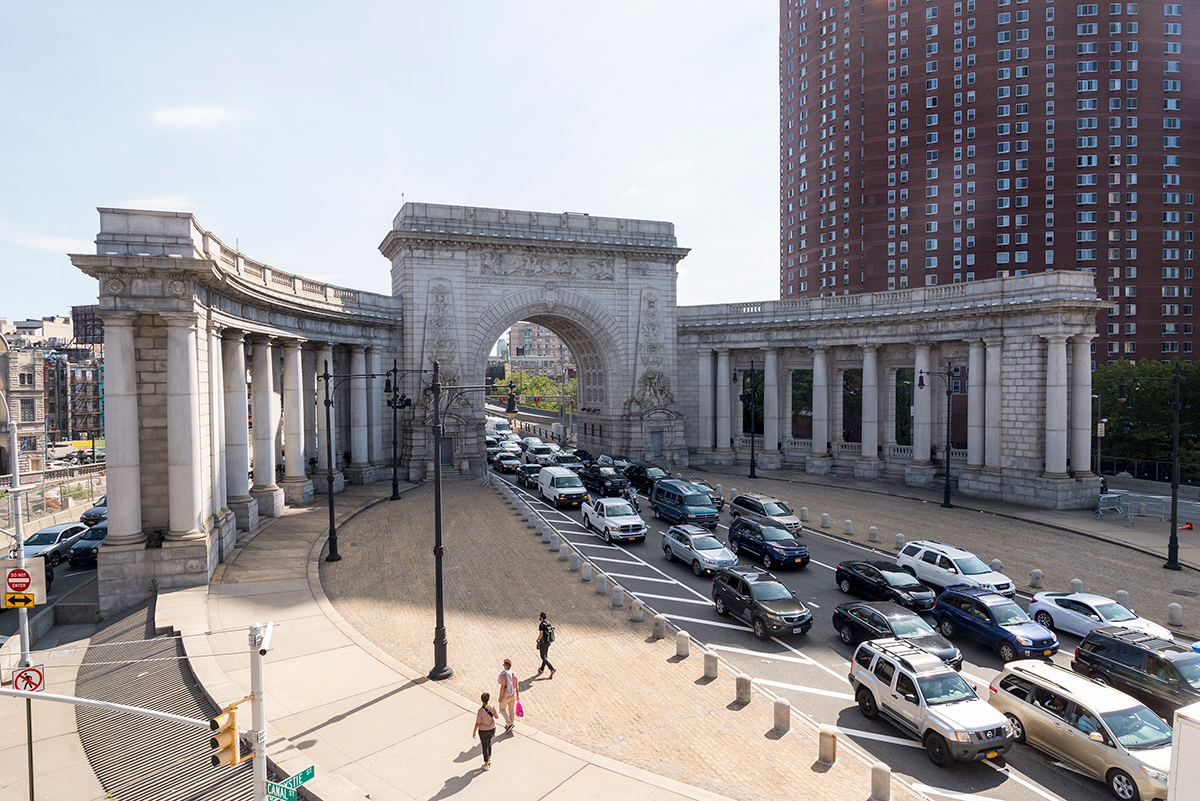
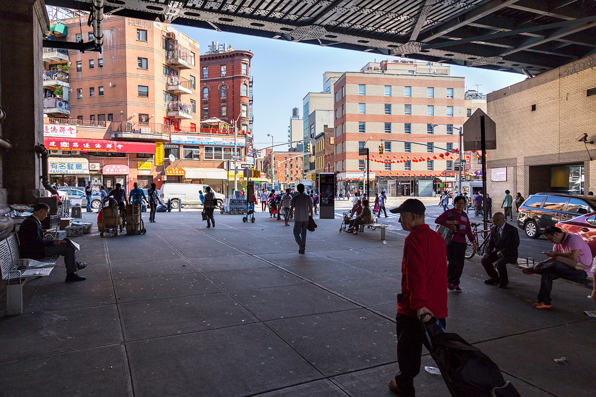
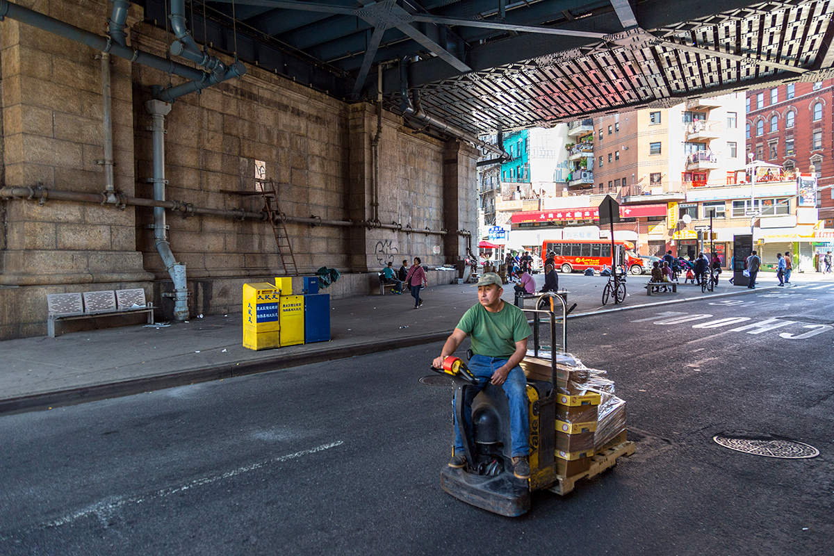
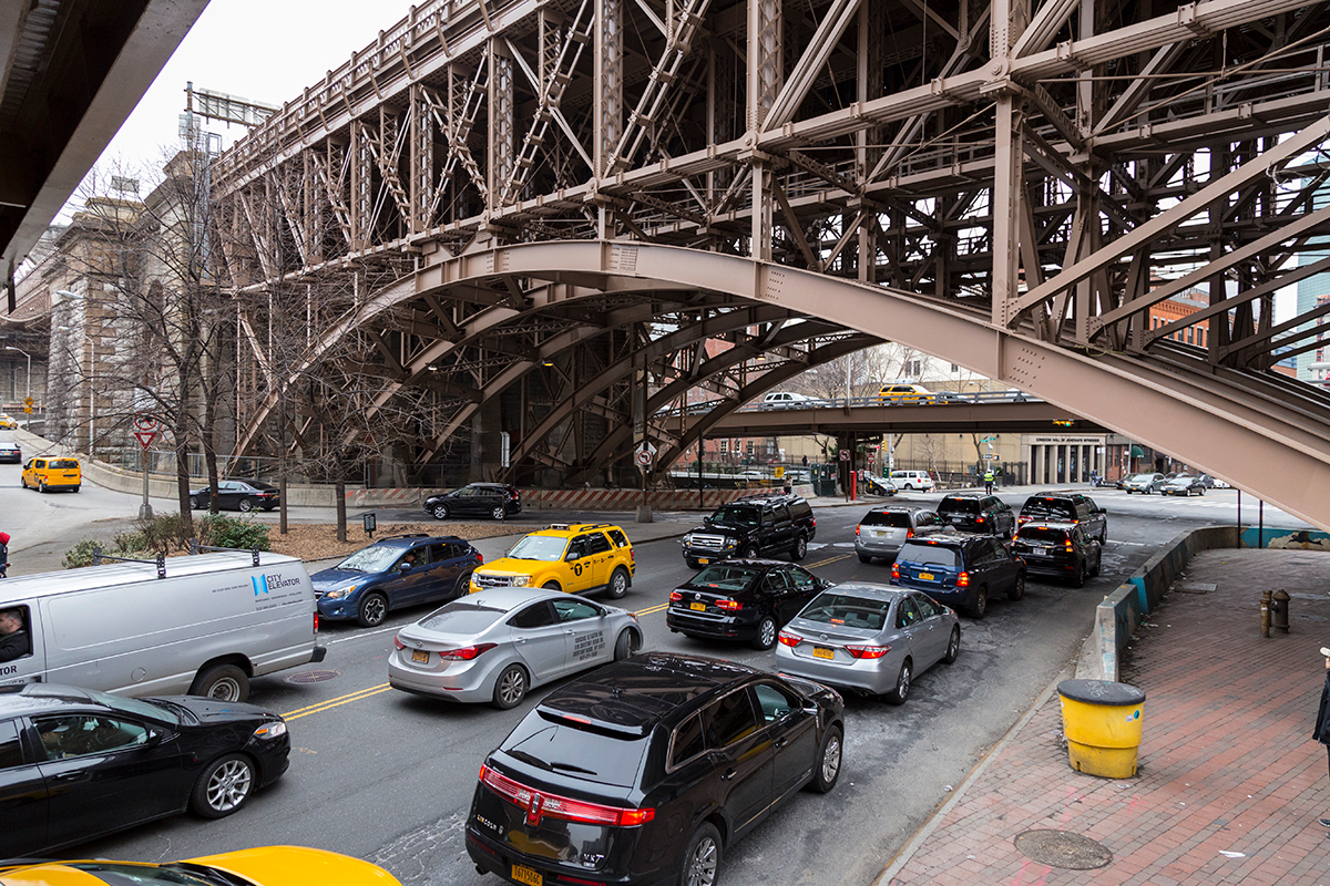
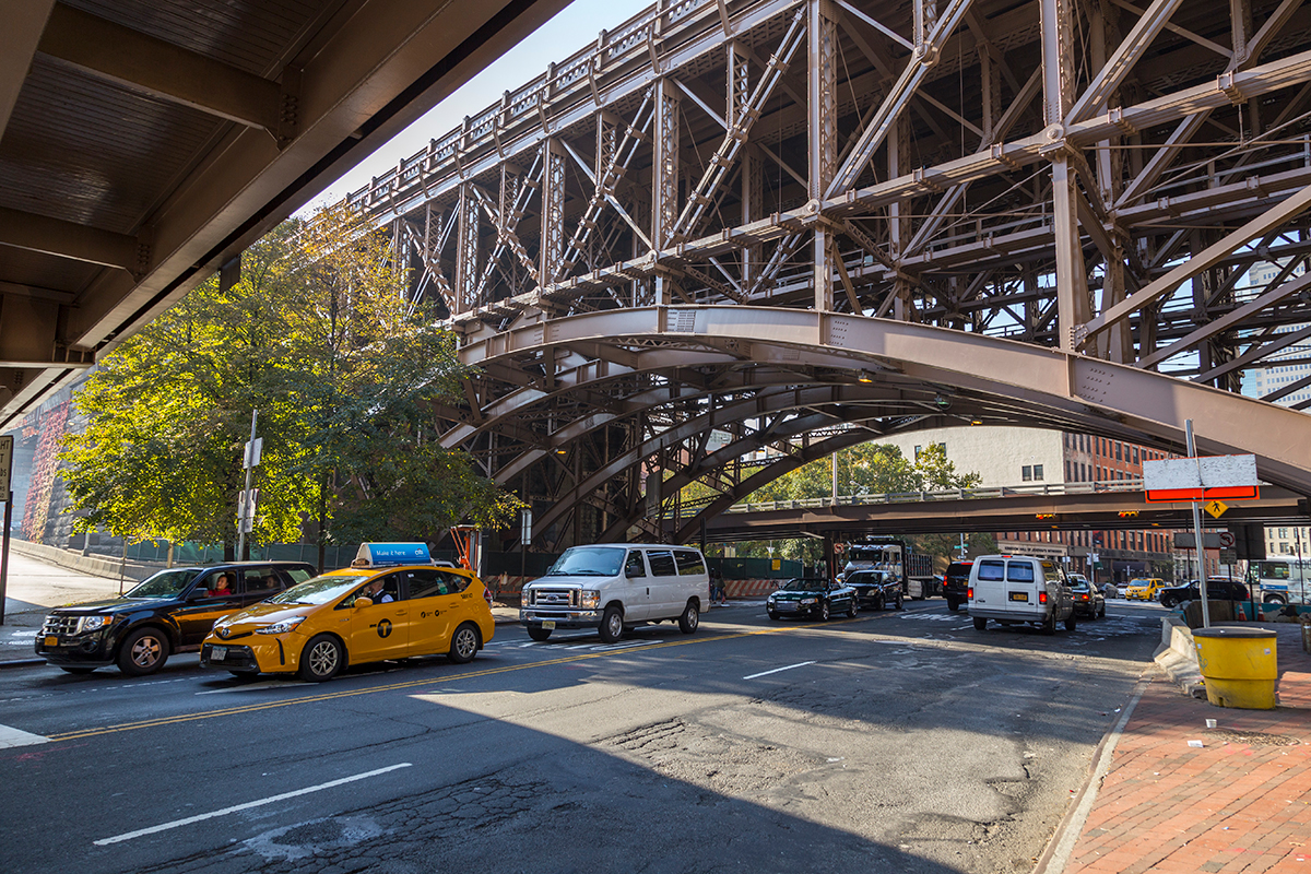
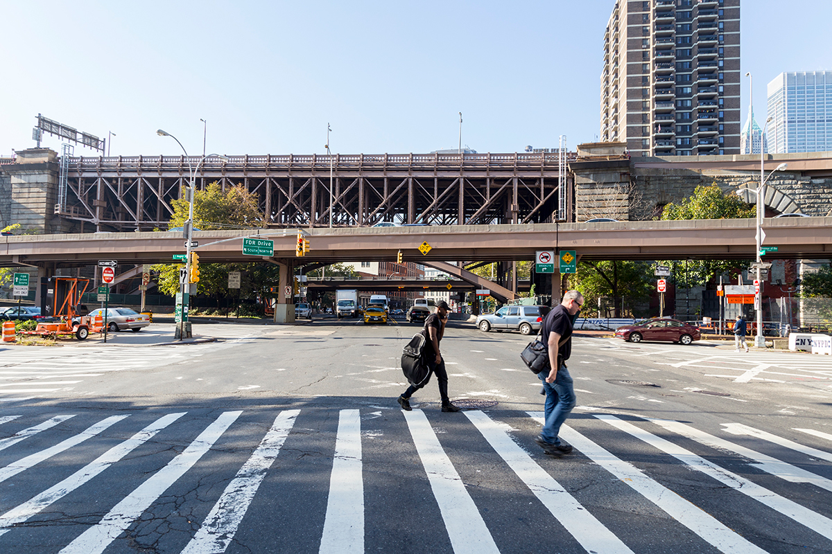
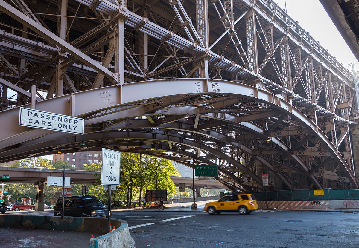
Manhattan Bridge
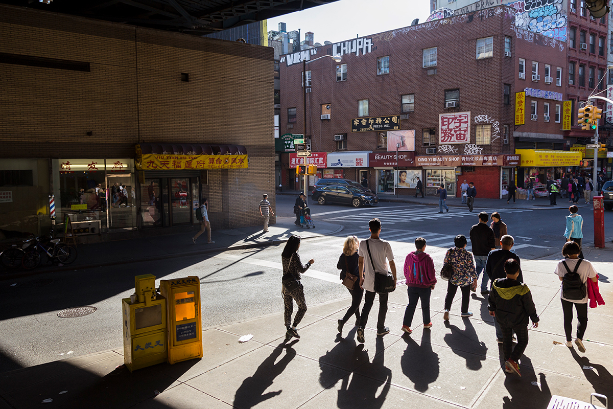
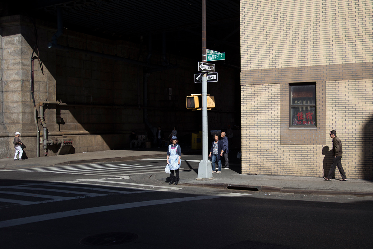
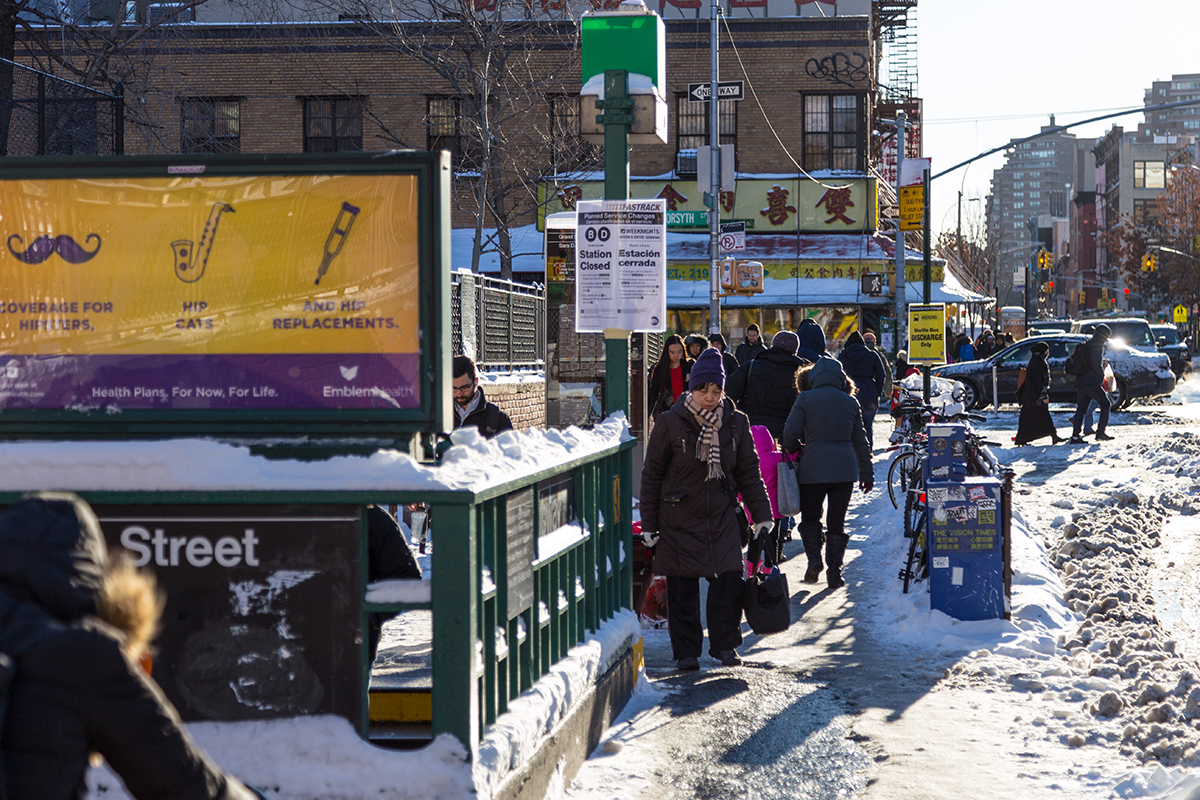
Division Street
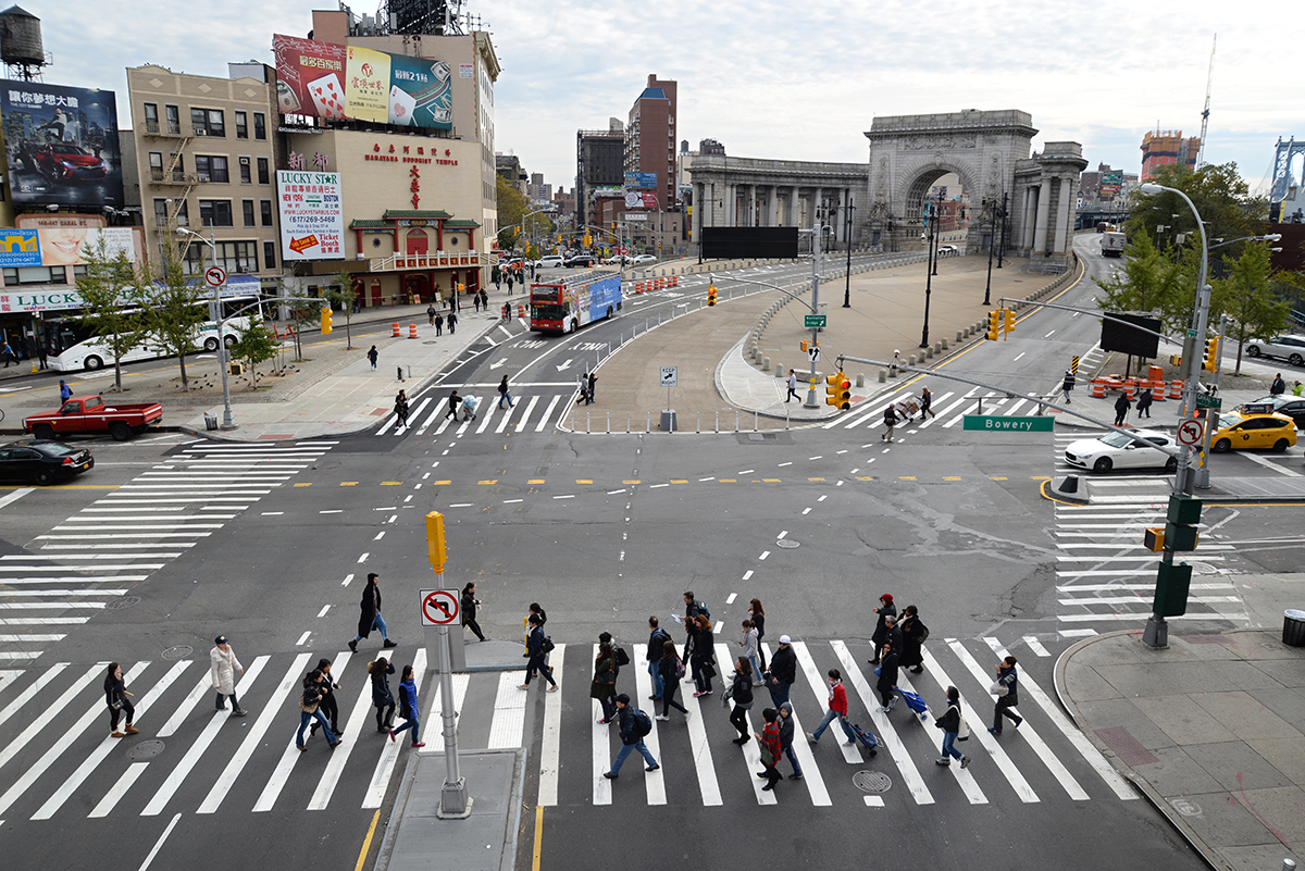
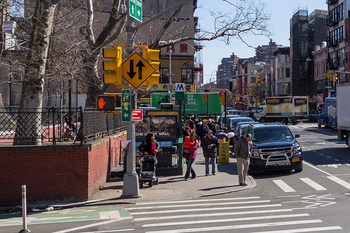
Grand Street & Chrystie Street

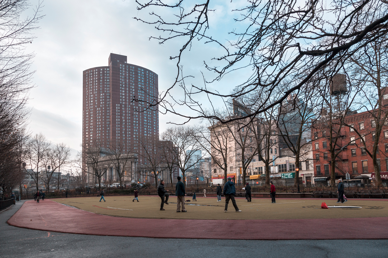
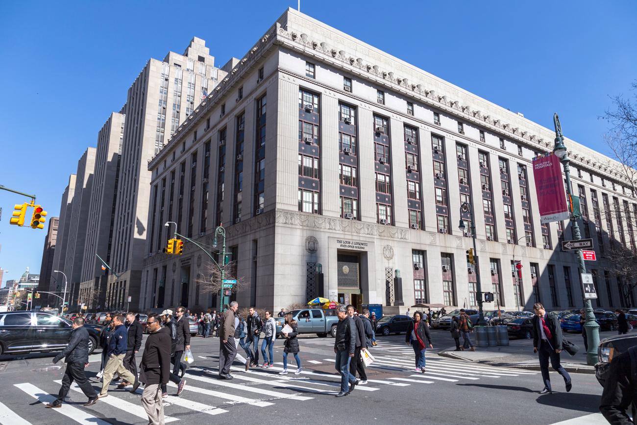
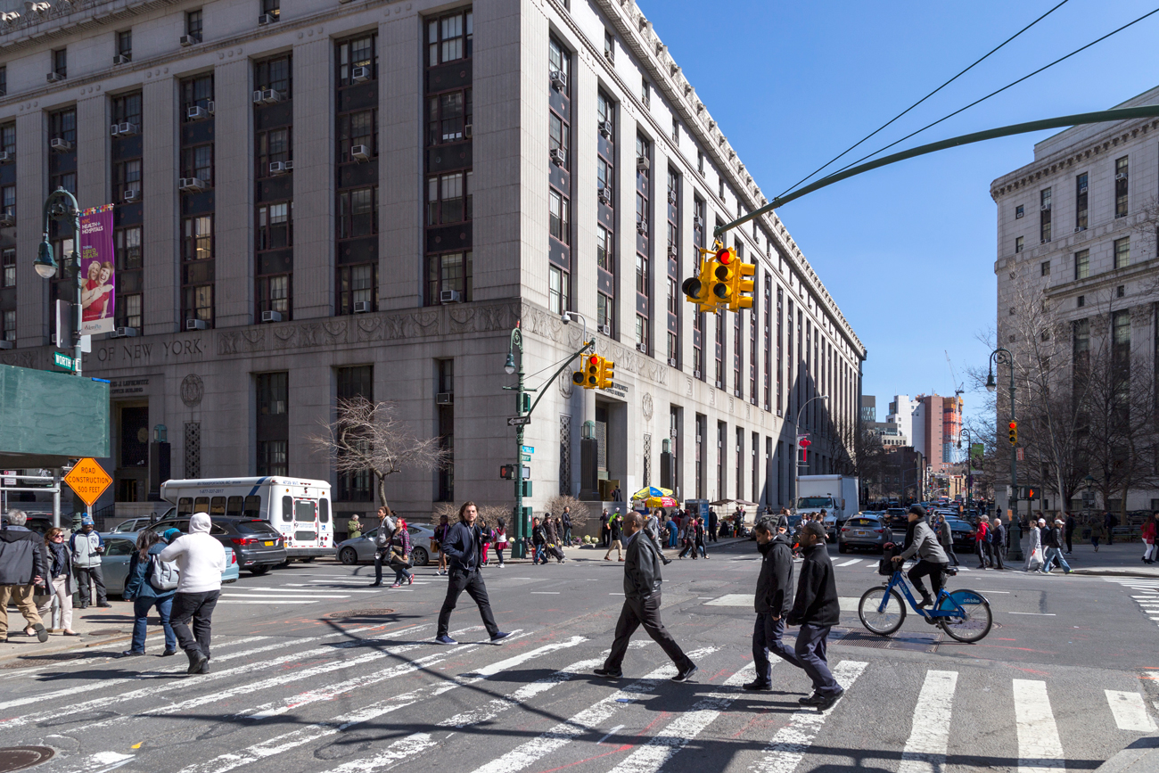
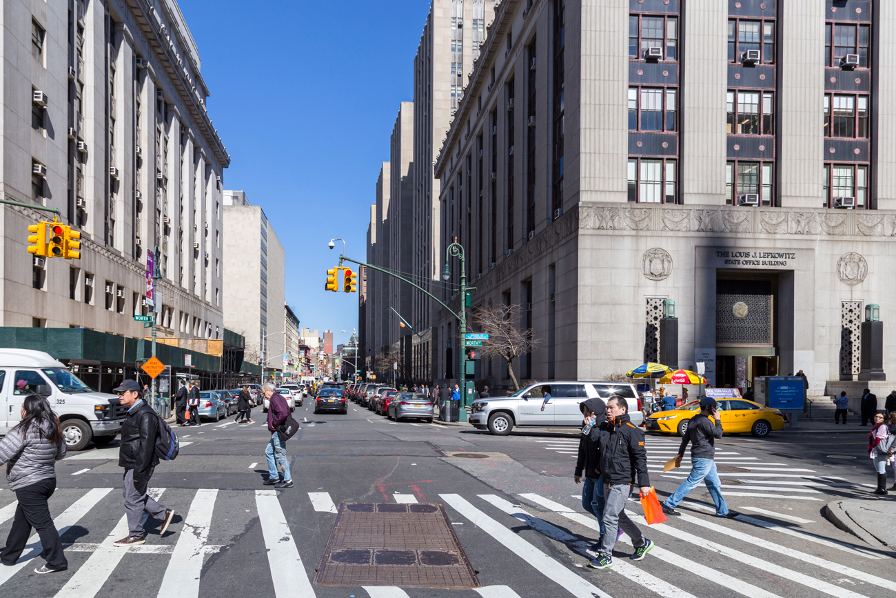
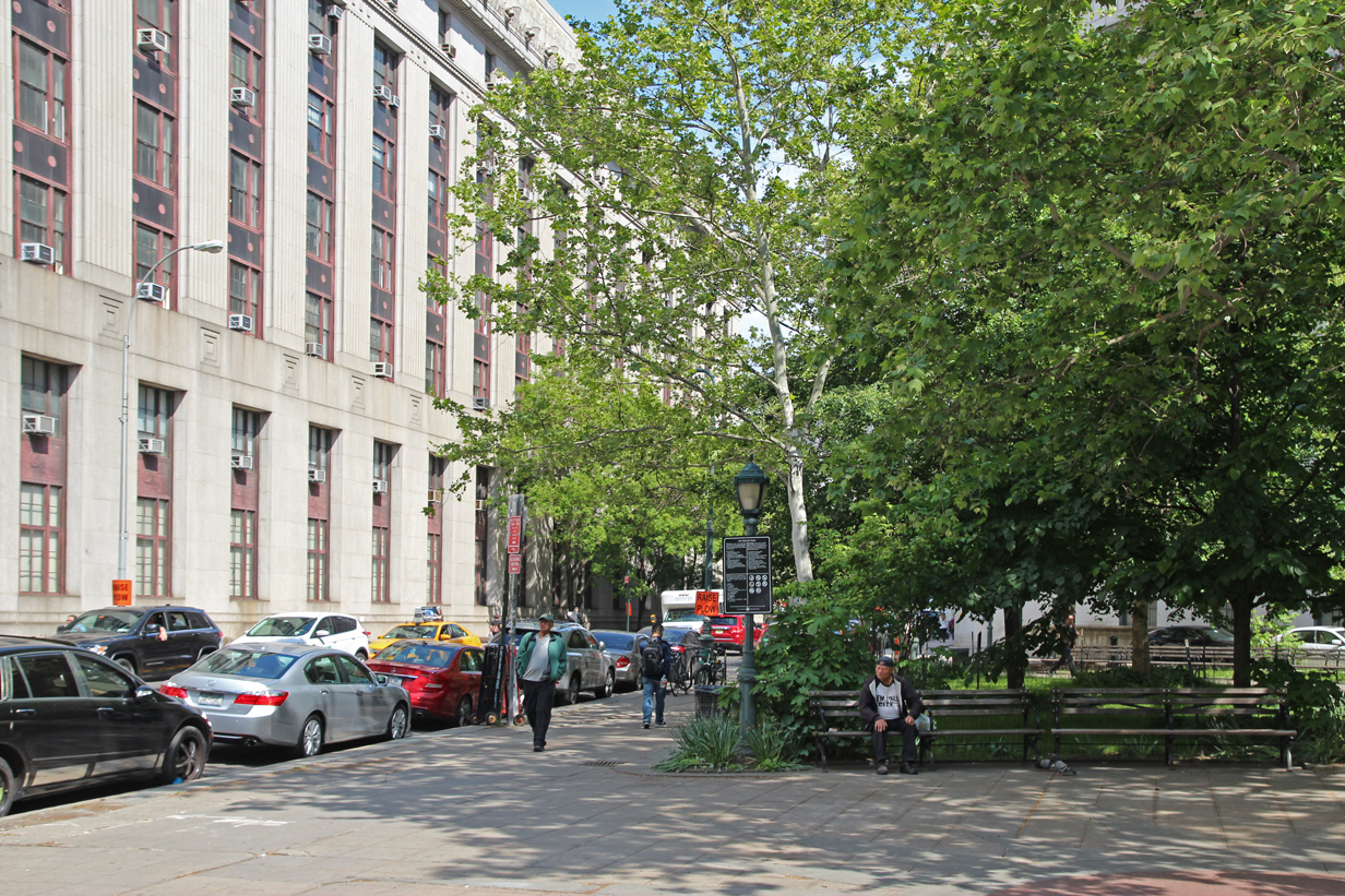
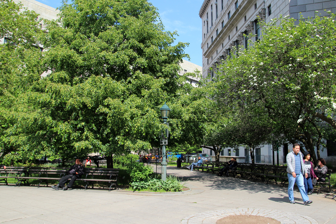
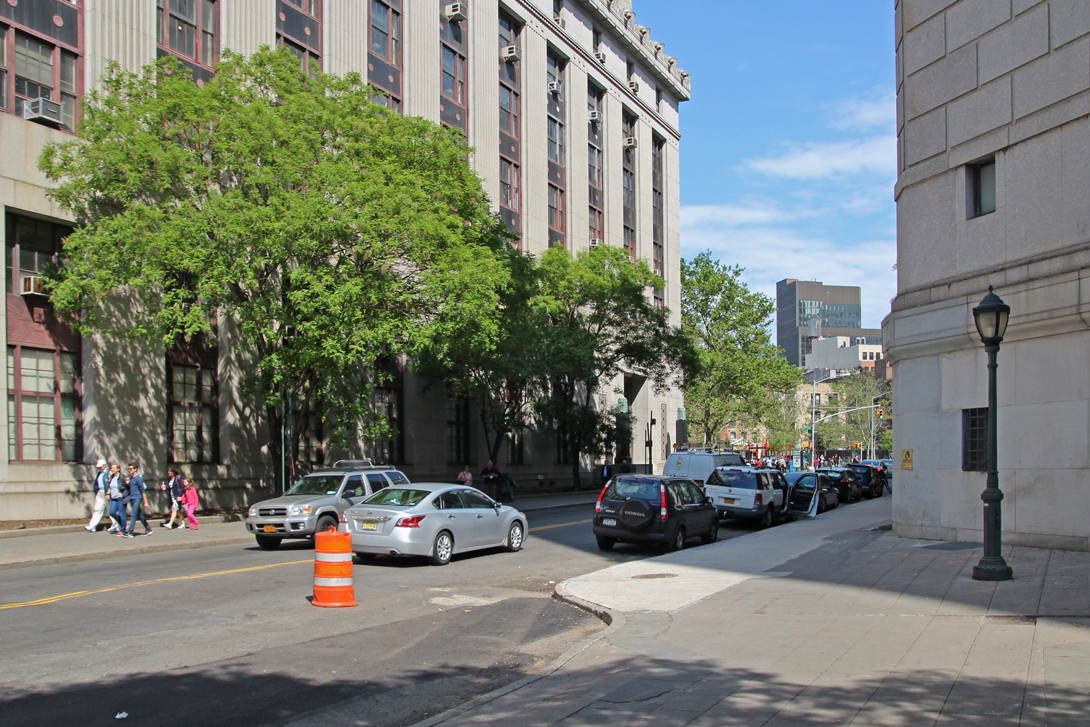
Foley Square


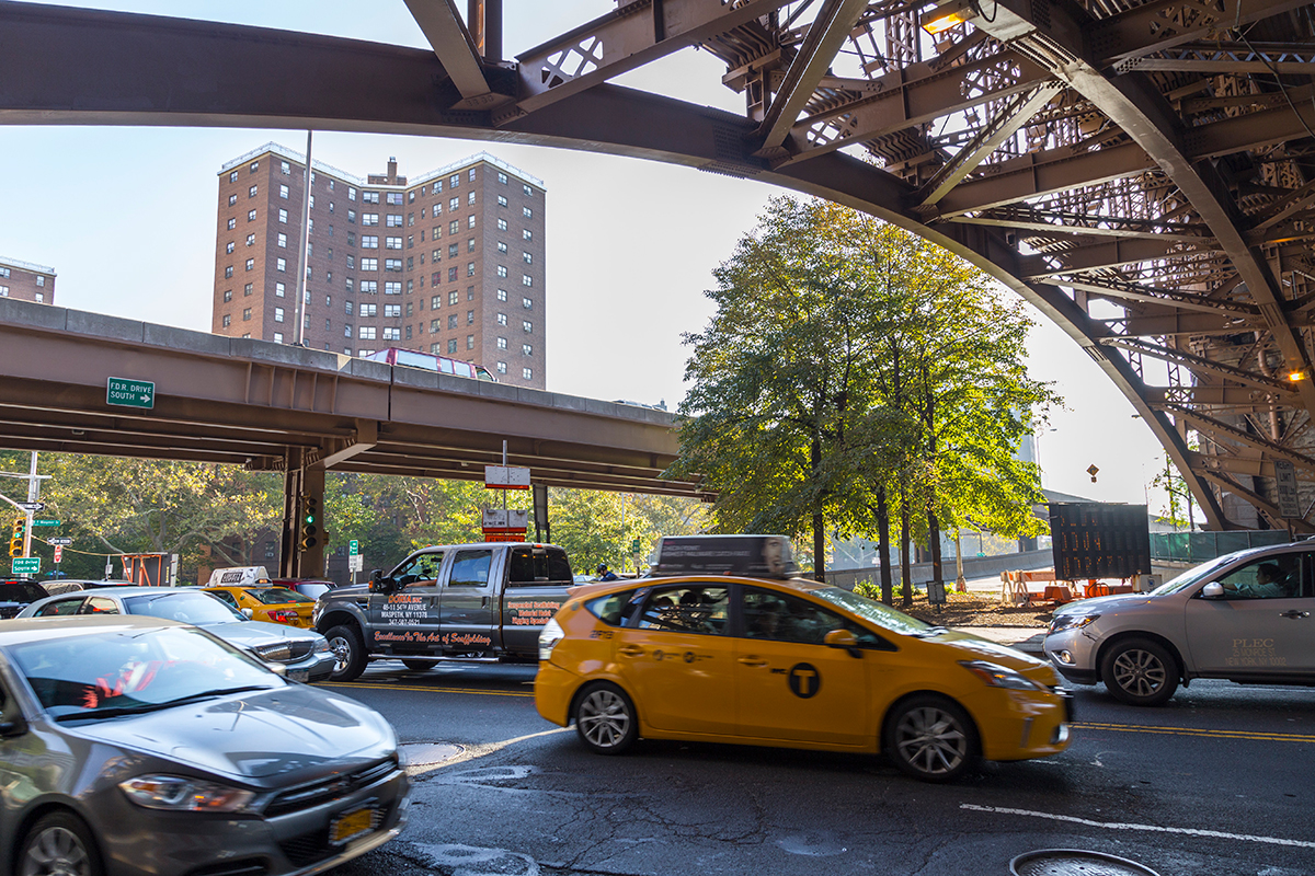
Brooklyn Bridge
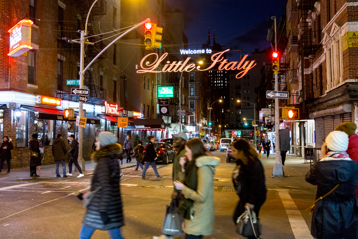
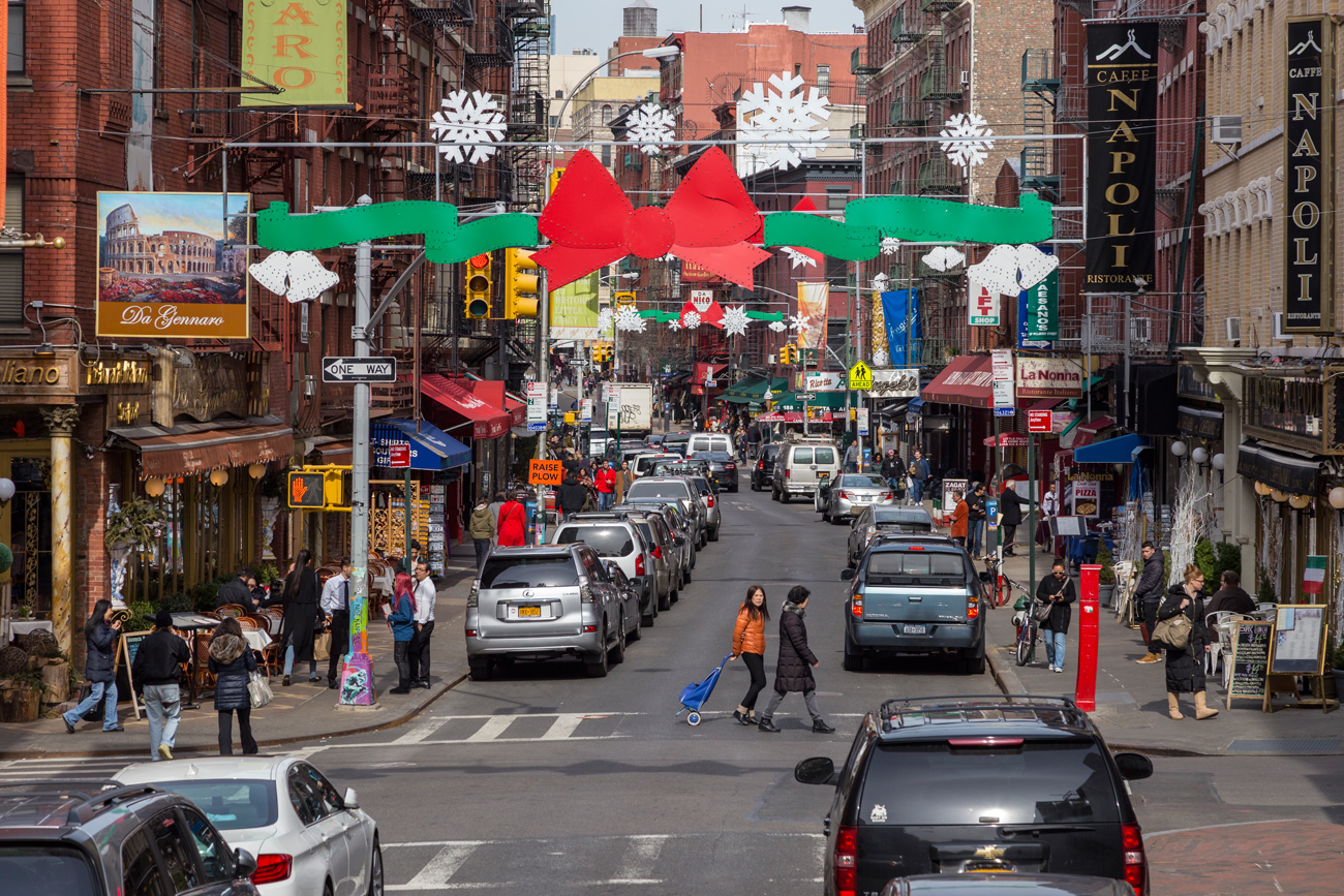
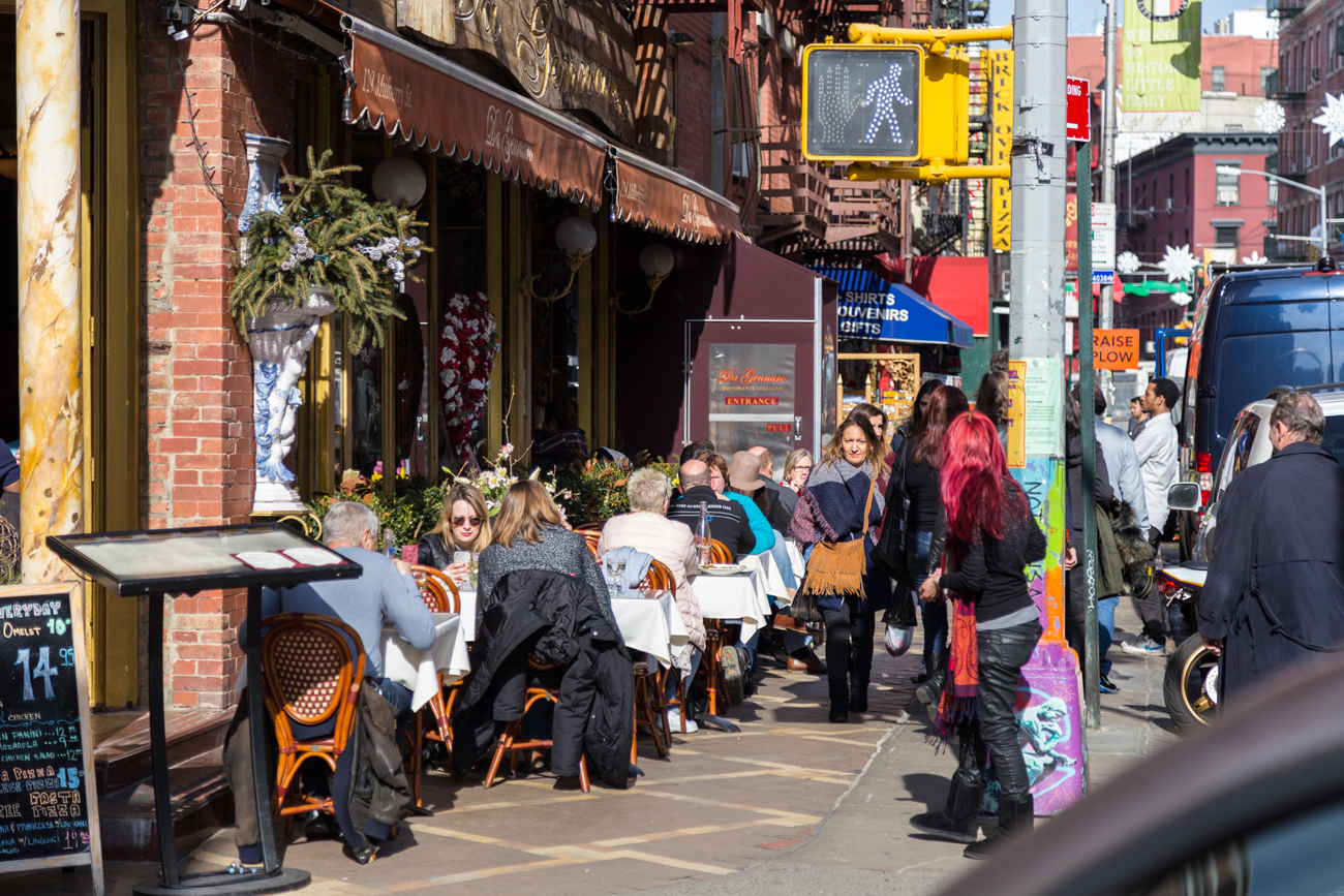
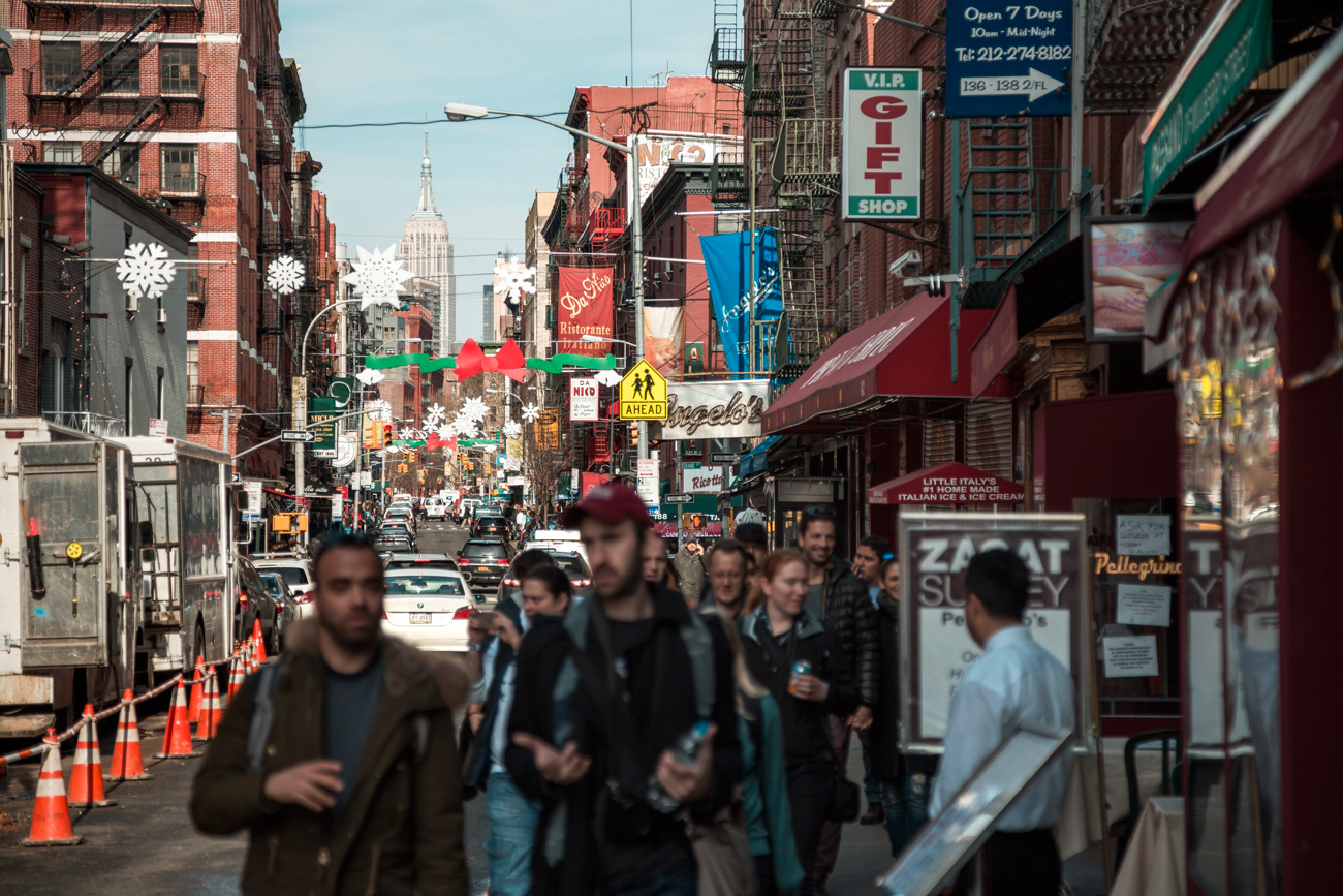
Little Italy
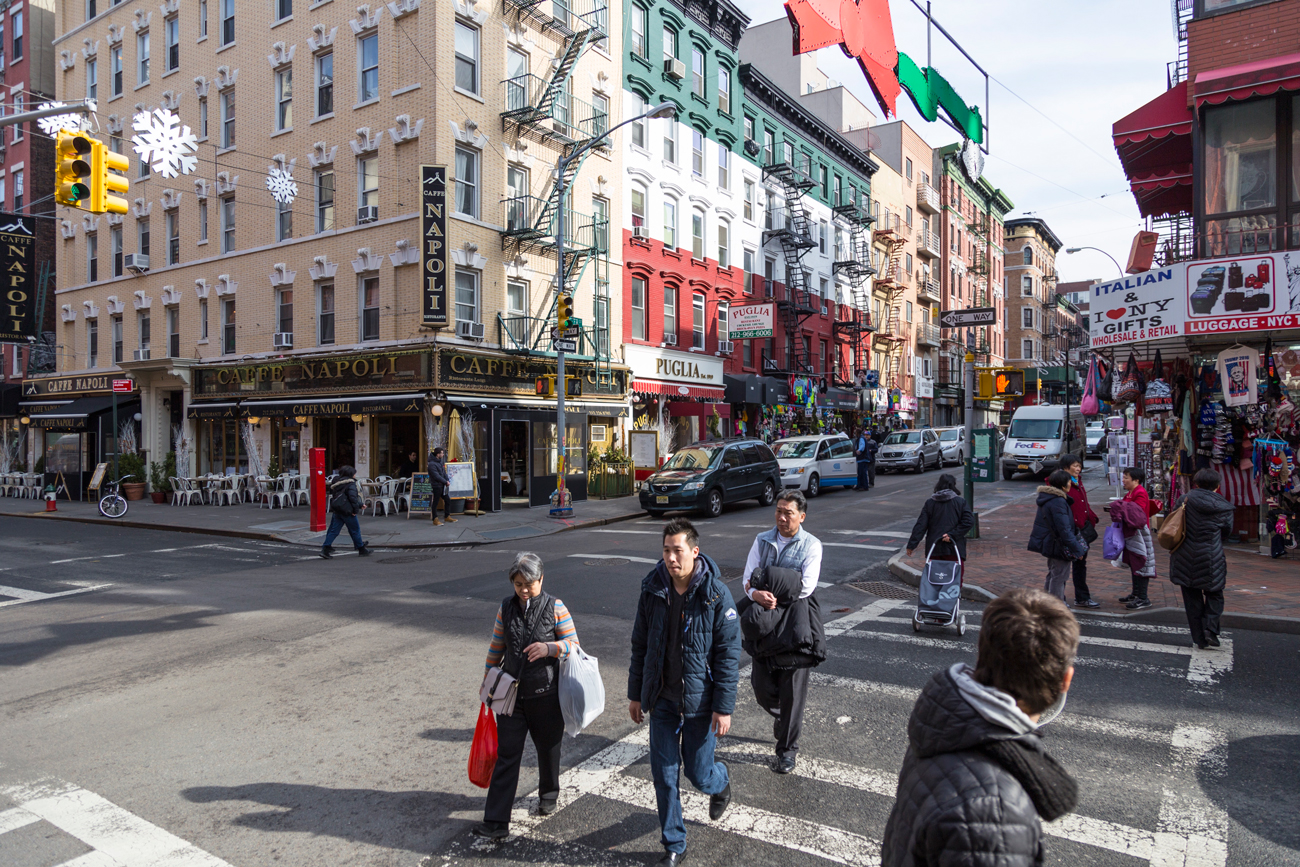
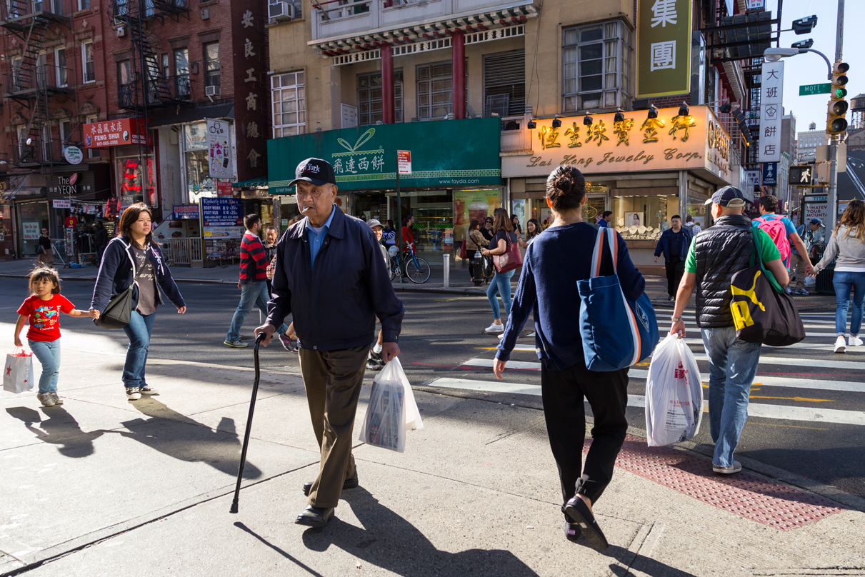
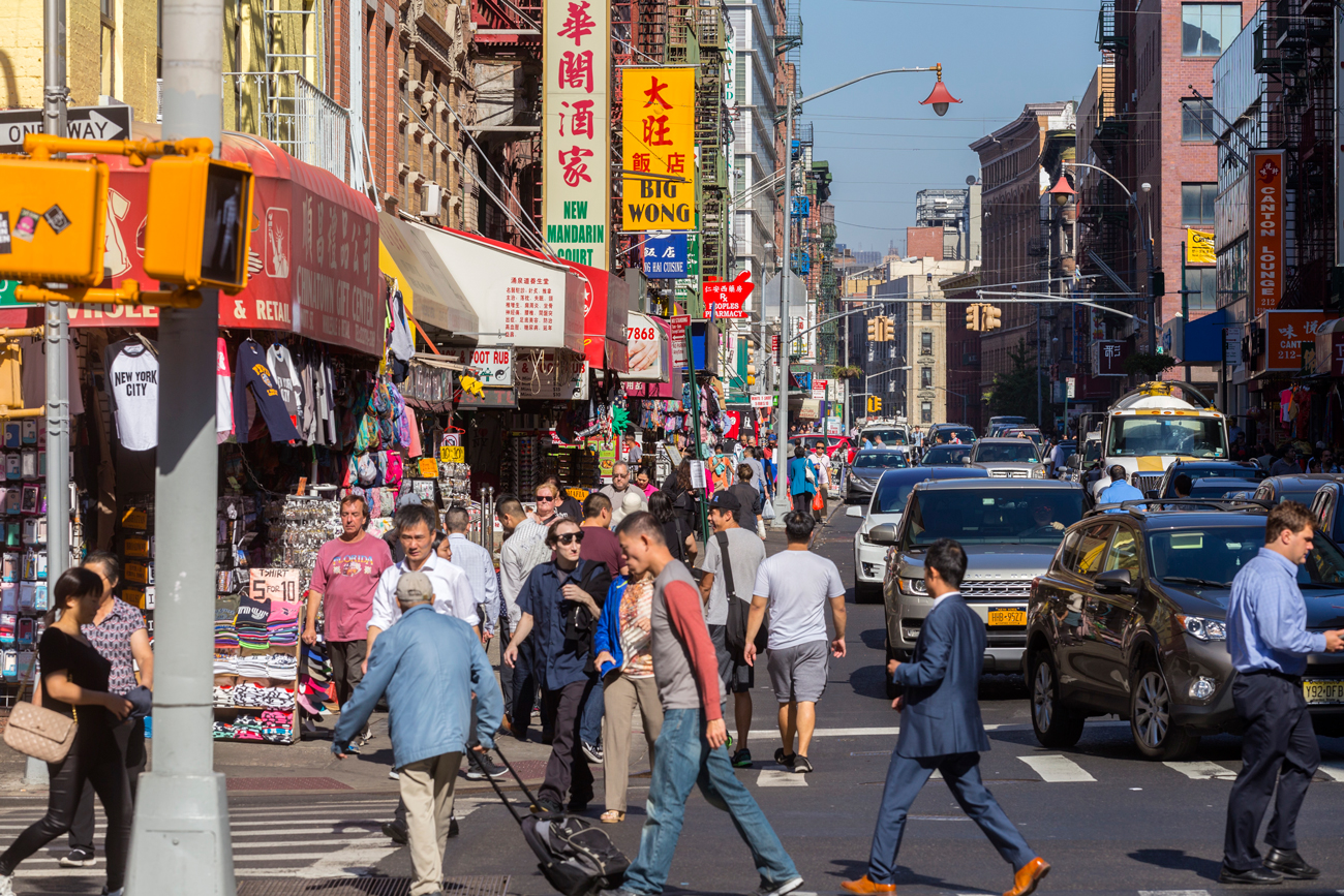
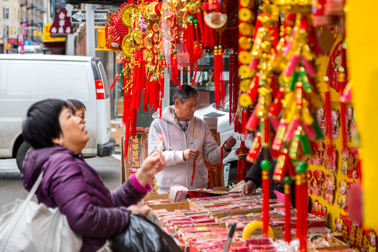
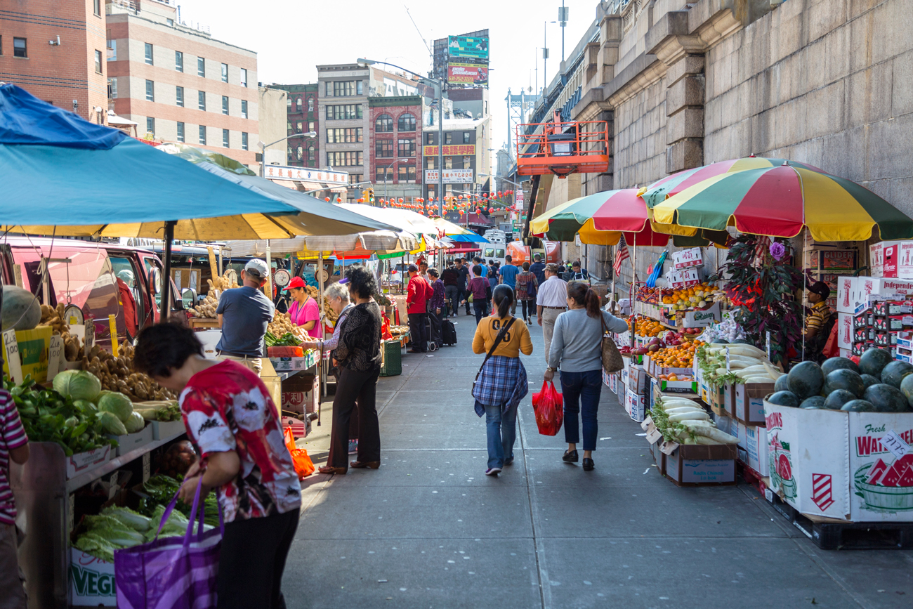
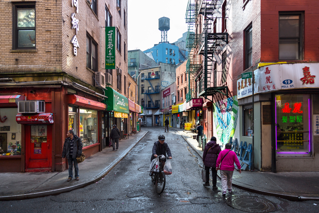
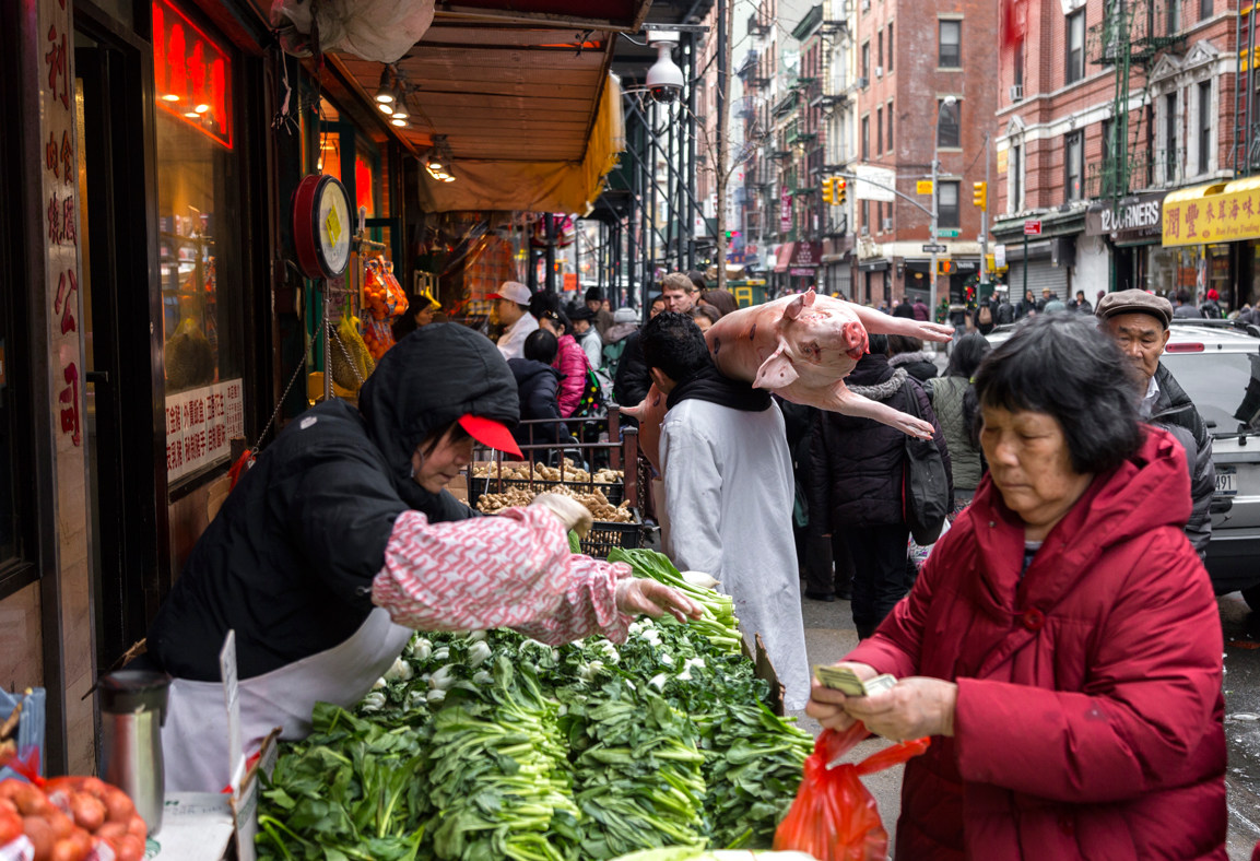
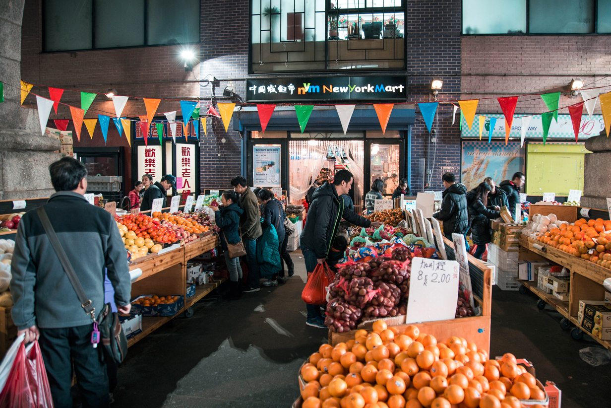
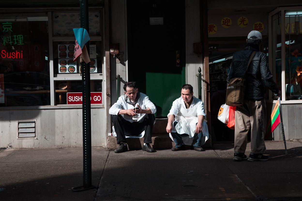
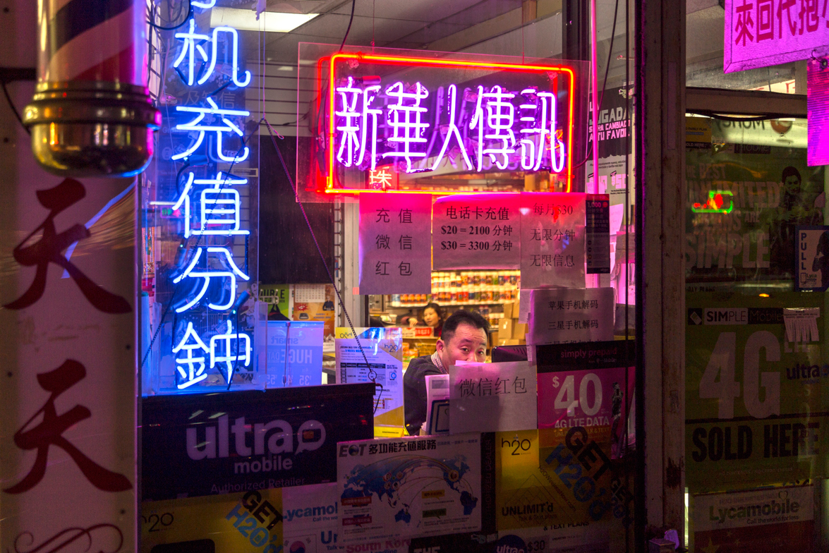
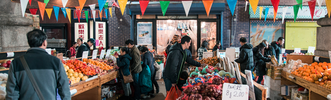
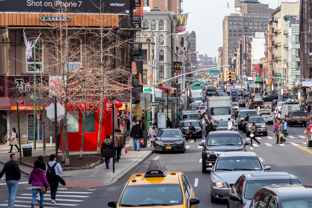
Chinatown